Results


Page 1 of 1
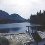
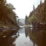
- Unknown dam on Big East River system, Muskoka, Ontario,1949.


 As well as controlling water levels, the Big East River system was used every spring for log runs. The various lumber companies in the area stamped thier logs and sent them down the river with the spring runoff. On entering Lake Vernon from the river they were sorted by the …

 As well as controlling water levels, the Big East River system was used every spring for log runs. The various lumber companies in the area stamped thier logs and sent …Huntsville Public Library
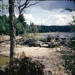
 - Distress Dam on the Big East River system, Muskoka, Ontario, 1949.


 As well as controlling water levels, the Big East River system was used every spring for log runs. The various lumber companies in the area stamped their logs and sent them down the river with the spring runoff. On entering Lake Vernon from the river they were sorted by the …

 As well as controlling water levels, the Big East River system was used every spring for log runs. The various lumber companies in the area stamped their logs and sent …Huntsville Public Library
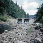
 - New Distress Dam on the Big East River system, Muskoka, Ontatio.

 A lumbering dam built on this site in the 1880s created an artificial lake, Distress Pond, to hold water for log drives. The present concrete dam, built in 1955 by the Department of Public Works, maintains the pond for recreation.
 A lumbering dam built on this site in the 1880s created an artificial lake, Distress Pond, to hold water for log drives. The present concrete dam, built in 1955 by …Huntsville Public Library
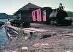
 - Portage Flyer at the South Portage, Lake of Bays, Muskoka, Ontario
 The major obstacle to water navigation between Huntsville and the resorts on Lake of Bays was the portage between Peninsula Lake and Lake of Bays. Although only a distance of one mile separated the two lakes, the difference in elevation betwen the lakes was 100 feet with the ridge of …
  The major obstacle to water navigation between Huntsville and the resorts on Lake of Bays was the portage between Peninsula Lake and Lake of Bays. Although only a distance of …Huntsville Public Library
 - Finlayson Pond and Dam, Big East River system, Muskoka, Ontario, 1949.
 The Big East River headwaters rise on the rugged western rim of the Algonquin Highland, adjacent to those of the Oxtongue River. Water pouring off the uninhabited hills quickly finds its way into several lively creeks that bubble down narrow valleys into a tiny lake, Finlayson Pond, nestled in the …
  The Big East River headwaters rise on the rugged western rim of the Algonquin Highland, adjacent to those of the Oxtongue River. Water pouring off the uninhabited hills quickly finds …Huntsville Public Library
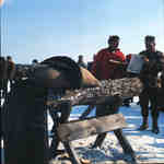
 - Log sawing contest near Huntsville, Ontario, 1966.
 Log sawing contest near Huntsville, Ontario, 1966.
  Log sawing contest near Huntsville, Ontario, 1966.Huntsville Public Library
 - Breaking up the land to wrestle a living from the Muskoka bush.
 Horses and a walking plow with rough pole fences in background. This photograph was taken c1915 by Frank C. Paterson, Agricultural Representative for Muskoka Parry Sound Districts, 1915-1919.
  Horses and a walking plow with rough pole fences in background. This photograph was taken c1915 by Frank C. Paterson, Agricultural Representative for Muskoka Parry Sound Districts, 1915-1919.Huntsville Public Library
Page 1 of 1

