Results
We found 3744 matching items.


- Frank Waywell


 In this interview, Frank Waywell talks about his involvement in the war effort before, during and after World War II. Frank first started in the Royal Army Medical Corps but then felt compelled to join the air force once he saw the severity of the war. He talks about his …

 In this interview, Frank Waywell talks about his involvement in the war effort before, during and after World War II. Frank first started in the Royal Army Medical Corps but …Oakville Public Library
 - Harry Barrett


 In this interview, Harry Barrett, former mayor of Oakville, talks about his experiences prior to and in the Second World War. Harry speaks about joining and training with the cadet core for five years. While training with them, he was issued uniforms and Ross Rifles from the First World War …

 In this interview, Harry Barrett, former mayor of Oakville, talks about his experiences prior to and in the Second World War. Harry speaks about joining and training with the cadet …Oakville Public Library
 - Wess McIntosh


 In this interview, Wess McIntosh speaks about his extensive involvement with the Canadian forces, first with the naval reserves and then with the airforce. Wes joined the navy in 1933, but he also started learning to fly in 1934. From there, he received his private pilot’s license in 1934 and …

 In this interview, Wess McIntosh speaks about his extensive involvement with the Canadian forces, first with the naval reserves and then with the airforce. Wes joined the navy in 1933, …Oakville Public Library
 - Map of Strong Township, Machar


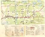
 Photocopy of an early concession map for Strong Township. The township is divided into 14 x 30 plots. Lake Bernard is still Stony Lake at this time. Pool Lake and Lake Wallace are also shown. The main road Distress Road is in the middle of the map. The townships on …

 Photocopy of an early concession map for Strong Township. The township is divided into 14 x 30 plots. Lake Bernard is still Stony Lake at this time. Pool Lake and …Sundridge - Strong Union PL
 - Tremaine's Map of the County of Halton 1858 – Township of Esquesing II


 This map lays out the land division and ownership of the northern Esquesing region as of 1858. It is one of eight maps of the Halton townships. It also includes depictions of important local buildings including the Canadian Collegiate Institute, the residence of James Barber Esquire, and Credit Paper Mills. …

 This map lays out the land division and ownership of the northern Esquesing region as of 1858. It is one of eight maps of the Halton townships. It also includes …Oakville Public Library
 - Map of Oakville 1877

 This map was compiled using original registered surveys from J.H. Pope.
 This map was compiled using original registered surveys from J.H. Pope.Oakville Public Library
 - Tremaine's Map of the County of Halton - Township of Nelson II


 This map lays out the land division and ownership of the Nelson township region as of 1858. It is one of eight maps of the Halton townships. It also includes depictions of important local buildings including H.P. Zimmerman’s Crist & Flouring Mills, the residence of K.H. Munn Esquire, and Bronte …

 This map lays out the land division and ownership of the Nelson township region as of 1858. It is one of eight maps of the Halton townships. It also includes …Oakville Public Library
 - Tremaine's Map of the County of Halton 1858 – Township of Nassagaweya

 This map lays out the land division and ownership of the Nassagaweya region as of 1858. It is one of four maps of the Halton townships. It also includes depictions of important local buildings including the Halton County Courthouse, Nassagaweya Mills, the residence of P.W. Dayfoot Esq., and Pine and …
 This map lays out the land division and ownership of the Nassagaweya region as of 1858. It is one of four maps of the Halton townships. It also includes depictions …Oakville Public Library
 - Fire Insurance Plan for Burford, Ontario, July 1894

 ...
... 
 ...County of Brant Public Library
 - Map of the Village of Scotland, 1894

 This item is a reproduction of an 1894 map depicting the village of Scotland in the Townships of Burford and Oakland, County of Brant. It was produced by Jones & Fairchild, Ontario Land Surveyors. This map is Zoomify enabled! Click on the map to zoom in and pan around so …
 This item is a reproduction of an 1894 map depicting the village of Scotland in the Townships of Burford and Oakland, County of Brant. It was produced by Jones & …County of Brant Public Library
 - Map of the United Counties of Leeds and Grenville

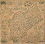
 This item is a map of the United Counties of Leeds and Grenville, Canada West, as of 1861. It was based on surveys under the direction of H.F. Walling, and includes the townships of Leeds, Lansdowne, and Escott. This map includes some pictures, individual lot and concession numbers for each …
 This item is a map of the United Counties of Leeds and Grenville, Canada West, as of 1861. It was based on surveys under the direction of H.F. Walling, and …Leeds & Thousand Islands Public Library
 - Beatty Lake

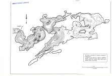
 Map housed at the Brodie Resource Library
 Map housed at the Brodie Resource LibraryThunder Bay Public Library
 - Smoothrock Lake (North-West Section)

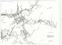
 Map housed at the Brodie Resource Library
 Map housed at the Brodie Resource LibraryThunder Bay Public Library
 - Lake Superior : Graveyard of the Great Lakes

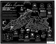
 Map housed at the Brodie Resource Library
 Map housed at the Brodie Resource LibraryThunder Bay Public Library
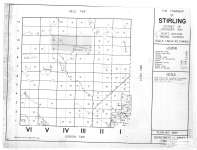
 - The Township of Stirling : District of Thunder Bay

 Map housed at the Brodie Resource Library
 Map housed at the Brodie Resource LibraryThunder Bay Public Library
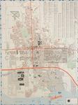
 - LHM025 New City Map and Street Guide Oshawa

 Scale on map listed as 1" to 1050'
 Scale on map listed as 1" to 1050'Oshawa Public Libraries
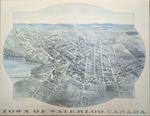
 - 1891 Town of Waterloo Map

 The printed date in the right hand corner of the second version of the map is incorrect. The map can be dated to ca. 1891 based on other copies and the presence of St. Louis Roman Catholic Church on Allen St.
 The printed date in the right hand corner of the second version of the map is incorrect. The map can be dated to ca. 1891 based on other copies and …Waterloo Public Library
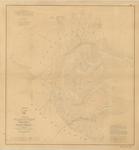
 - St. Clair Flats, 1857

 "Chart of St. Clair flats reduced from the original surveys of Cap't Geo. G. Meade, T. E. under the direction of Lieut. Col. J. Kearney, T.E. (Superintendent of Lake Surveys.) Showing Also The Improvement at the Mouth of the South Pass now being effected by the United States Bureau of …
 "Chart of St. Clair flats reduced from the original surveys of Cap't Geo. G. Meade, T. E. under the direction of Lieut. Col. J. Kearney, T.E. (Superintendent of Lake Surveys.) …Maritime History of the Great Lakes
 - Land holding map for Thessalon area, 1966


 The map does not include a scale. This map and legend can be found in the Tweedsmuir History created by the Princess Elizabeth Women's Institute.

 The map does not include a scale. This map and legend can be found in the Tweedsmuir History created by the Princess Elizabeth Women's Institute.Thessalon Union Public Library
 - 1806 Trafalgar Township Map


 This copy of the Wilmot survey map of Trafalgar Township was photographed from a wonderful display copy. It looks like Mr. Wilmot signed his name, "Sam L. Wilmot", but it is actually "Sam S. Wilmot".

 This copy of the Wilmot survey map of Trafalgar Township was photographed from a wonderful display copy. It looks like Mr. Wilmot signed his name, "Sam L. Wilmot", but it …Trafalgar Township Historical Society


