Results


Page 1 of 1
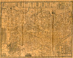
- Newspaper Clipping of a Map of Many Townships in the Sundridge Area
 There's a small rip on the right side of the clipping.
  There's a small rip on the right side of the clipping.Sundridge - Strong Union PL
 - The Village of Sundridge, Kent, England

 A replica map of Sundridge, Kent England in 1640. The map is accompanied by a two page history of Sundridge, Kent, England. The history goes into the origins of the British Sundridge, what the area is like today, the history of the church in the area, and the impact of …
 A replica map of Sundridge, Kent England in 1640. The map is accompanied by a two page history of Sundridge, Kent, England. The history goes into the origins of the …Sundridge - Strong Union PL
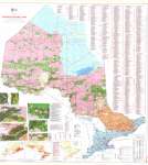
 - Ontario Mineral Map
 Map housed at the Brodie Resource Library
  Map housed at the Brodie Resource LibraryThunder Bay Public Library
 - Quetico Provincial Park (Back of Map)
 Verso of Quetico Provincial Park map Housed at the Brodie Resource Library
  Verso of Quetico Provincial Park map Housed at the Brodie Resource LibraryThunder Bay Public Library
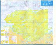
 - Quetico Provincial Park
 Map housed at the Brodie Resource Library
  Map housed at the Brodie Resource LibraryThunder Bay Public Library
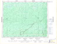
 - Smoky Falls : Cochrane District
 Map housed at the Brodie Resource Library
  Map housed at the Brodie Resource LibraryThunder Bay Public Library
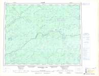
 - Miminiska Lake
 Map housed at the Brodie Resource Library
  Map housed at the Brodie Resource LibraryThunder Bay Public Library
 - LHM080 Town of Newcastle (map)
 Scale on map listed as 1" to 1.5 miles
  Scale on map listed as 1" to 1.5 milesOshawa Public Libraries
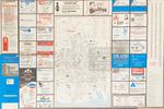
 - LHM031 Visitor's Guide to the City of Oshawa
 A tourist map of Oshawa that shows points of interest, street guide, buyers guide and local advertisements.
  A tourist map of Oshawa that shows points of interest, street guide, buyers guide and local advertisements.Oshawa Public Libraries
Page 1 of 1


