Results
We found 22 matching items.


- LHM087 Ontario Geological Maps
 Scale listed on map as 1" to 16 miles
  Scale listed on map as 1" to 16 milesOshawa Public Libraries
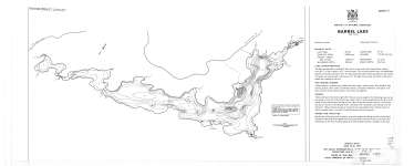
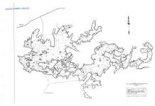
 - Barrel Lake (Bear Lake)
 Map housed at the Brodie Resource Library
  Map housed at the Brodie Resource LibraryThunder Bay Public Library
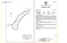
 - Sunset Lake
 Map housed at the Brodie Resource Library
  Map housed at the Brodie Resource LibraryThunder Bay Public Library
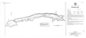
 - Victoria Lake
 Map housed at the Brodie Resource Library
  Map housed at the Brodie Resource LibraryThunder Bay Public Library
 - Nym Lake
 Map housed at the Brodie Resource Library
  Map housed at the Brodie Resource LibraryThunder Bay Public Library
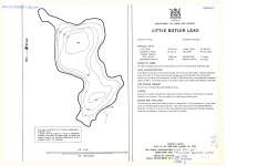
 - Little Butler Lake
 Map housed at the Brodie Resource Library
  Map housed at the Brodie Resource LibraryThunder Bay Public Library
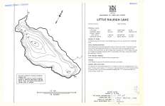
 - Little Raleigh Lake
 Map housed at the Brodie Resource Library
  Map housed at the Brodie Resource LibraryThunder Bay Public Library
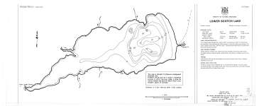
 - Lower Scotch Lake
 Map housed at the Brodie Resource Library
  Map housed at the Brodie Resource LibraryThunder Bay Public Library
 - Pakashkan Lake (Provincial Series)
 Map housed at the Brodie Resource Library
  Map housed at the Brodie Resource LibraryThunder Bay Public Library
 - Gulliver River (Provincial Series)
 Map housed at the Brodie Resource Library
  Map housed at the Brodie Resource LibraryThunder Bay Public Library
 - Lake Superior : Grand Portage Bay, Minn. to Shesheeb Point, Ont. Including Isle Royale, Michigan
 Map housed at the Brodie Resource Library
  Map housed at the Brodie Resource LibraryThunder Bay Public Library
 - Lake Superior
 Map housed at the Brodie Resource Library
  Map housed at the Brodie Resource LibraryThunder Bay Public Library
 - Sioux Lookout - Armstrong Sheet : Geological Compilation Series
 Map housed at the Brodie Resource Library
  Map housed at the Brodie Resource LibraryThunder Bay Public Library
 - Devon and Pardee Townships : and Stuart Location
 Map housed at the Brodie Resource Library
  Map housed at the Brodie Resource LibraryThunder Bay Public Library
 - Province of Ontario Showing Census Divisions and Subdivisions for the 1971 Census
 Map housed at the Brodie Resource Library
  Map housed at the Brodie Resource LibraryThunder Bay Public Library
 - Thunder Bay District
 Map housed at the Brodie Resource Library
  Map housed at the Brodie Resource LibraryThunder Bay Public Library
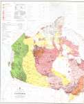
 - Isotopic age map of Canada (West)
 Map housed at the Brodie Resource Library See accompanying Isotopic age map of Canada (East) on separate record.
  Map housed at the Brodie Resource Library See accompanying Isotopic age map of Canada (East) on separate record.Thunder Bay Public Library
 - Isotopic age map of Canada (East)
 Map housed at the Brodie Resource Library See accompanying Isotopic age map of Canada (West) on separate record.
  Map housed at the Brodie Resource Library See accompanying Isotopic age map of Canada (West) on separate record.Thunder Bay Public Library
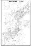
 - The City of Thunder Bay
 Map housed at the Brodie Resource Library
  Map housed at the Brodie Resource LibraryThunder Bay Public Library
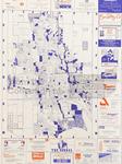
 - LHM021 Advertising Street Map Oshawa
 This map shows Oshawa with street names and highways highlighted on the map, and local advertisements around it.
  This map shows Oshawa with street names and highways highlighted on the map, and local advertisements around it.Oshawa Public Libraries

