Results


Page 1 of 1
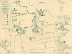
- Map of Forgotten Trails - Almaguin Highlands Area
 This map was produced by the South River Chamber of Commerce as a tourist aid and promoter.
  This map was produced by the South River Chamber of Commerce as a tourist aid and promoter.South River - Machar Union PL
 - Brightsand
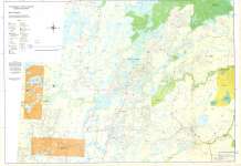
 CrimeStoppers - North of Superior Explorer Map Series Map housed at the Brodie Resource Library
  CrimeStoppers - North of Superior Explorer Map Series Map housed at the Brodie Resource LibraryThunder Bay Public Library
 - Lac Des Mille Lacs / Dog River
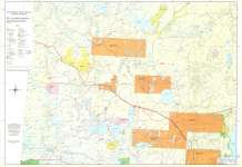
 CrimeStoppers - North of Superior Explorer Map Series Map housed at the Brodie Resource Library
  CrimeStoppers - North of Superior Explorer Map Series Map housed at the Brodie Resource LibraryThunder Bay Public Library
 - Black Sturgeon
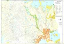
 CrimeStoppers - North of Superior Explorer Map Series Map housed at the Brodie Resource Library
  CrimeStoppers - North of Superior Explorer Map Series Map housed at the Brodie Resource LibraryThunder Bay Public Library
 - Lake Nipigon
 CrimeStoppers - North of Superior Explorer Map Series Map housed at the Brodie Resource Library
  CrimeStoppers - North of Superior Explorer Map Series Map housed at the Brodie Resource LibraryThunder Bay Public Library
 - Wabakimi Park
 CrimeStoppers - North of Superior Explorer Map Series Map housed at the Brodie Resource Library
  CrimeStoppers - North of Superior Explorer Map Series Map housed at the Brodie Resource LibraryThunder Bay Public Library
 - Northern Lights Country East
 CrimeStoppers - North of Superior Explorer Map Series Map housed at the Brodie Resource Library
  CrimeStoppers - North of Superior Explorer Map Series Map housed at the Brodie Resource LibraryThunder Bay Public Library
 - Thunder Bay
 CrimeStoppers - North of Superior Explorer Map Series Map housed at the Brodie Resource Library
  CrimeStoppers - North of Superior Explorer Map Series Map housed at the Brodie Resource LibraryThunder Bay Public Library
 - Caribou Lake
 CrimeStoppers - North of Superior Explorer Map Series Map housed at the Brodie Resource Library
  CrimeStoppers - North of Superior Explorer Map Series Map housed at the Brodie Resource LibraryThunder Bay Public Library
 - Northern Lights Country West
 CrimeStoppers - North of Superior Explorer Map Series Map housed at the Brodie Resource Library
  CrimeStoppers - North of Superior Explorer Map Series Map housed at the Brodie Resource LibraryThunder Bay Public Library
 - Northern Light Lake / Shebandowan
 CrimeStoppers - North of Superior Explorer Map Series Map housed at the Brodie Resource Library
  CrimeStoppers - North of Superior Explorer Map Series Map housed at the Brodie Resource LibraryThunder Bay Public Library
Page 1 of 1

