Results


Page 1 of 1
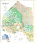
- Superficial Geology of Northern Ontario (Left Side)
 See adjoining map Surficial Geology of Northern Ontario (Right Side) Map housed at the Brodie Resource Library
  See adjoining map Surficial Geology of Northern Ontario (Right Side) Map housed at the Brodie Resource LibraryThunder Bay Public Library
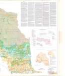
 - Superficial Geology of Northern Ontario (Right Side)
 See adjoining map Surficial Geology of Northern Ontario (Left Side) Map housed at the Brodie Resource Library
  See adjoining map Surficial Geology of Northern Ontario (Left Side) Map housed at the Brodie Resource LibraryThunder Bay Public Library
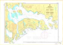
 - Nipigon Bay : And Approaches/Et Les Approches
 Map housed at the Brodie Resource Library
  Map housed at the Brodie Resource LibraryThunder Bay Public Library
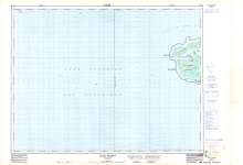
 - Otter Island : Thunder Bay District
 Map housed at the Brodie Resource Library
  Map housed at the Brodie Resource LibraryThunder Bay Public Library
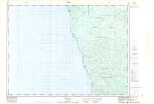
 - Oiseau Bay : Thunder Bay District
 Map housed at the Brodie Resource Library
  Map housed at the Brodie Resource LibraryThunder Bay Public Library
 - Slate Islands
 Map housed at the Brodie Resource Library
  Map housed at the Brodie Resource LibraryThunder Bay Public Library
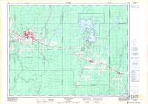
 - Kapuskasing : Cochrane District
 Map housed at the Brodie Resource Library
  Map housed at the Brodie Resource LibraryThunder Bay Public Library
 - Ignace
 Map housed at the Brodie Resource Library
  Map housed at the Brodie Resource LibraryThunder Bay Public Library
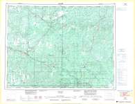
 - Armstrong : Thunder Bay District
 Map housed at the Brodie Resource Library
  Map housed at the Brodie Resource LibraryThunder Bay Public Library
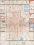
 - LHM034 The City of Oshawa
 A map of Oshawa from 1987-1988 that shows street names, railroads, local advertisements and businesses.
  A map of Oshawa from 1987-1988 that shows street names, railroads, local advertisements and businesses.Oshawa Public Libraries
Page 1 of 1

