Results


Page 1 of 1
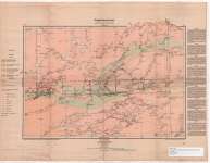
- Seine River Sheet : Thunder Bay and Rainy River Districts
 Map housed at the Brodie Resource Library
  Map housed at the Brodie Resource LibraryThunder Bay Public Library
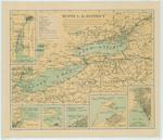
 - Tenth L. H. District
 Map of Lake Erie, Lake Ontario and upper St. Lawrence showing the different classes of lighthouses on both the Canadian and American shores. There are insets of the Detroit River, Maumee Bay, Sandusky Bay, Cleveland harbor, Erie harbor, Buffalo harbor
  Map of Lake Erie, Lake Ontario and upper St. Lawrence showing the different classes of lighthouses on both the Canadian and American shores. There are insets of the Detroit River, …Maritime History of the Great Lakes
 - Rice Lake Indian Reserve Sketch
 A sketch showing part of Rice Lake Indian Reserve, later Hiawatha Reserve no. 36. Part of Treaty 20.
  A sketch showing part of Rice Lake Indian Reserve, later Hiawatha Reserve no. 36. Part of Treaty 20.Kawartha Lakes Public Library
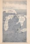
 - Bird's Eye View of Points Reached by the Detroit & Cleveland Steam Navigation Company

 Maritime History of the Great Lakes
Page 1 of 1


