Results
We found 1 matching items.


Page 1 of 1
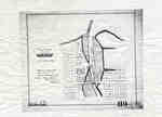
- Plan of Oakville 1876
 This map shows the division of land in Oakville surrounding the Sixteen Mile Creek. It was verified by the Department of Crown Lands the same year it was created.
  This map shows the division of land in Oakville surrounding the Sixteen Mile Creek. It was verified by the Department of Crown Lands the same year it was created.Oakville Public Library
Page 1 of 1


