Results


Page 1 of 1
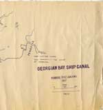
- Georgian Bay Ship Canal Map: Pembroke to Des Joachims
 Line map of the canal system drawn in bluish coloured ink, outlines routes along the Ottawa River between Pembroke and the rapids at Des Joachims. The left-hand side of the map has very prominent ink blotches and finger prints made from the same colour of ink as the map itself. …
  Line map of the canal system drawn in bluish coloured ink, outlines routes along the Ottawa River between Pembroke and the rapids at Des Joachims. The left-hand side of the …Petawawa Public Library
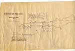
 - Georgian Bay Ship Canal Map: Des Joachims to Pembroke
 "Traced by members of Deep River Y.C. from photographic copy of original Dept. of Public Works chart. Supplemented from 1" Survey Maps and from personal experience."
  "Traced by members of Deep River Y.C. from photographic copy of original Dept. of Public Works chart. Supplemented from 1" Survey Maps and from personal experience."Petawawa Public Library
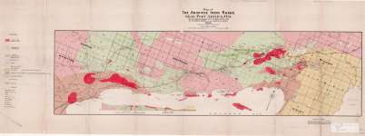
 - Map of The Animikie Iron Range Near Port Arthur, Ont.
 Map housed at the Brodie Resource Library
  Map housed at the Brodie Resource LibraryThunder Bay Public Library
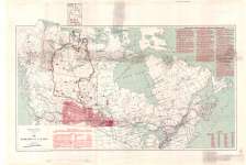
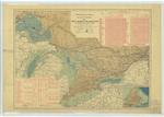
 - Map of the Dominion of Canada
 Map housed at the Brodie Resource Library
  Map housed at the Brodie Resource LibraryThunder Bay Public Library
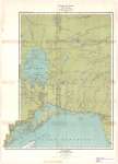
 - Ontario : Lake Nipigon Sheet
 Map housed at the Brodie Resource Library
  Map housed at the Brodie Resource LibraryThunder Bay Public Library
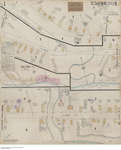
 - Insurance fire plan Embrun
 Item is a fire insurance plan of Embrun, Ontario. Sheets are numbered 1-2. Sheet 1 includes a Key Plan [scale 1:6 000].
  Item is a fire insurance plan of Embrun, Ontario. Sheets are numbered 1-2. Sheet 1 includes a Key Plan [scale 1:6 000].Bibliothèque publique du canton de Russell
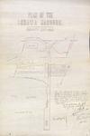
 - LHM042 Plan of the Oshawa Harbour
 Scale on map listed as 1" to 60'
  Scale on map listed as 1" to 60'Oshawa Public Libraries
 - Atlas of Canada, Number 22, Canals Lighthouses and Sailing Routes: Saint Lawrence and Great Lakes with Cape Breton Island

 Maritime History of the Great Lakes
 - The Bay of Quinte Route. To the Thousand Islands

 The coloured 1909 brochure for the Lake Ontario & Bay of Quinte Steamboat Company's operations including a description of the passage, schedules, costs, fishing season information and a full map of the route.
 The coloured 1909 brochure for the Lake Ontario & Bay of Quinte Steamboat Company's operations including a description of the passage, schedules, costs, fishing season information and a full map …Maritime History of the Great Lakes
Page 1 of 1

