Results


Page 1 of 1
- Map of Strong Township, Machar


 Photocopy of an early concession map for Strong Township. The township is divided into 14 x 30 plots. Lake Bernard is still Stony Lake at this time. Pool Lake and Lake Wallace are also shown. The main road Distress Road is in the middle of the map. The townships on …

 Photocopy of an early concession map for Strong Township. The township is divided into 14 x 30 plots. Lake Bernard is still Stony Lake at this time. Pool Lake and …Sundridge - Strong Union PL
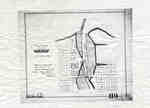
 - Plan of Oakville 1876
 This map shows the division of land in Oakville surrounding the Sixteen Mile Creek. It was verified by the Department of Crown Lands the same year it was created.
  This map shows the division of land in Oakville surrounding the Sixteen Mile Creek. It was verified by the Department of Crown Lands the same year it was created.Oakville Public Library
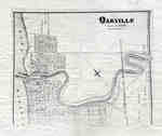
 - Map of Oakville 1877

 This map was compiled using original registered surveys from J.H. Pope.
 This map was compiled using original registered surveys from J.H. Pope.Oakville Public Library
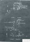
 - Survey of Thessalon Township - Dyment Mill Location, 1876
 The is a black and white photo of a survey of the Thessalon Township - Dyment Mill site dated 1876. Lake Huron, The Thessalon River along with survey measurements, post locations and local landmarks are noted. The wharf, light house, boarding house and Dyment saw mill locations are all shown …
  The is a black and white photo of a survey of the Thessalon Township - Dyment Mill site dated 1876. Lake Huron, The Thessalon River along with survey measurements, post …Heritage Park Museum
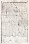
 - LHM072 Map of Hope Township
 This is a copy of the 1878 map of Hope Township from Belden's Atlas.
  This is a copy of the 1878 map of Hope Township from Belden's Atlas.Oshawa Public Libraries
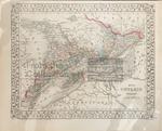
 - LHM082 Map of Ontario in Counties
 Scale on map listed as 1" to 4 miles
  Scale on map listed as 1" to 4 milesOshawa Public Libraries
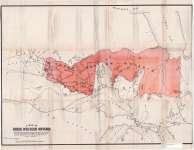
 - A Map of North Western Ontario
 Map housed at the Brodie Resource Library
  Map housed at the Brodie Resource LibraryThunder Bay Public Library
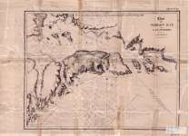
 - Chart of Thunder Bay : Lake Superior
 Map housed at the Brodie Resource Library
  Map housed at the Brodie Resource LibraryThunder Bay Public Library
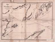
 - Chart of Nepigon Bay : Lake Superior
 Map housed at the Brodie Resource Library
  Map housed at the Brodie Resource LibraryThunder Bay Public Library
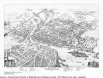
 - Bird's Eye View, Belleville, 1874
 Birs's Eye depiction of Belleville as it was in 1874.
  Birs's Eye depiction of Belleville as it was in 1874.Community Archives of Belleville & Hastings County
 - LHM001 Village of Oshawa Map
 Illustrated Historical Atlas of the County of Ontario, Ont. (Toronto, Ontario: J.H. Beers & Co., 1877), 1877 This is a copy from the 1877 atlas of Ontario County.
  Illustrated Historical Atlas of the County of Ontario, Ont. (Toronto, Ontario: J.H. Beers & Co., 1877), 1877 This is a copy from the 1877 atlas of Ontario County.Oshawa Public Libraries
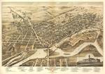
 - Bird's-eye View of Brantford - Map

 Brantford Public Library
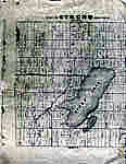
 - Map of Oshawa Harbour [1874]
 Manuscript map of Oshawa harbour.
  Manuscript map of Oshawa harbour.Maritime History of the Great Lakes
 - 1876 Plan of the Town of Paris

 This 1876 town map shows Paris as it was at the time. The lots are numbered individually. A number of notable town landmarks are indicated, with the key in the lower centre of the map.
 This 1876 town map shows Paris as it was at the time. The lots are numbered individually. A number of notable town landmarks are indicated, with the key in the …County of Brant Public Library
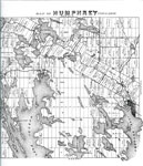
 - Map of Humphrey Township 1879 - RV0024a

 A map with many lakes on it. Map of Humphrey Township - 1879
 A map with many lakes on it. Map of Humphrey Township - 1879Rosseau Historical Society
 - Lake Rosseau Section of the Map of Humphrey Township 1879 - RV0024b

 A map of part of the Township of Humphrey with the names of the people who owned the lots in 1879.
 A map of part of the Township of Humphrey with the names of the people who owned the lots in 1879.Rosseau Historical Society
 - Lake Ontario, 1877
 "Survey of the Northern and Northwestern Lakes made in obedience to acts of Congress and orders from the Headquarters of the Corps of Engineers, War Department. Lake Ontario Projected from trigonometrical Surveys executed under the orders of Major C. B. Comstock, Corps of Engineers, Brvt. ...
  "Survey of the Northern and Northwestern Lakes made in obedience to acts of Congress and orders from the Headquarters of the Corps of Engineers, War Department. Lake Ontario Projected from …Maritime History of the Great Lakes
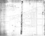
 - Plan of Ontario Methodist Camp Ground, 1875: Auditorium Circle and Victoria Terrace

 This is the plan for the Ontario Methodist Camp Ground in 1875. This was the first year that the Ontario Methodist Camp Ground owned the land sold to them by John B. Bowslaugh, which was approximately 12 1/2 acres. This map lays out the plots of land the company wanted …
 This is the plan for the Ontario Methodist Camp Ground in 1875. This was the first year that the Ontario Methodist Camp Ground owned the land sold to them by …Grimsby Chautauqua
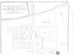
 - Plan of Ontario Methodist Camp Ground, Blocks B and C, 1875

 This map continues the survey of the Ontario Methodist Camp Grounds, plotting the lots for Blocks B. and C., and part of A., D., and F. This map accounts for another approximately 145 lots.
 This map continues the survey of the Ontario Methodist Camp Grounds, plotting the lots for Blocks B. and C., and part of A., D., and F. This map accounts for …Grimsby Chautauqua
Page 1 of 1


![Map of Oshawa Harbour [1874] Map of Oshawa Harbour [1874]](https://images.MaritimeHistoryoftheGreatLakes.ca/images/MHGL000122620t.jpg)

