Results


Page 1 of 1
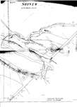
- Survey of the Sixteen Mile Creek Hollow, 1847
 A cleaned up version of the map is also included in this record, courtesy of Mr. David Hobden. Click on "select" under the title above here. You can move the image around with your mouse to focus on certain parts of the photograph, or use the slider to zoom out …
  A cleaned up version of the map is also included in this record, courtesy of Mr. David Hobden. Click on "select" under the title above here. You can move the …Trafalgar Township Historical Society
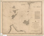
 - Kelley's and Bass Islands, 1849
 "Kelley's and Bass Islands Showing the Harbors of Refuge in their vicinity being an extract from the Survey of the West End of Lake Erie made under the direction of the Bureau of Topographical Engineers, War Department in obedience to Acts of Congress requiring the Survey of the Northern ...
  "Kelley's and Bass Islands Showing the Harbors of Refuge in their vicinity being an extract from the Survey of the West End of Lake Erie made under the direction of …Maritime History of the Great Lakes
 - A chart exhibiting the lighthouses of the lake coast of the United States of America
 A chart exhibiting the lighthouses on the lake coast of the United States of America Prepared by order of Stephen Pleasonton, 5th Auditor Treas'y Depart and Super't General of Lighthouses. 1848
  A chart exhibiting the lighthouses on the lake coast of the United States of America Prepared by order of Stephen Pleasonton, 5th Auditor Treas'y Depart and Super't General of Lighthouses. …Maritime History of the Great Lakes
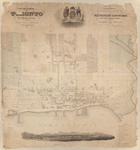
 - Topographical plan of the city and liberties of Toronto in the province of Canada. Surveyed, drawn and published by James Cane, Tophl. Engr.
 1 map: lithograph, colour; backed with paper.
  1 map: lithograph, colour; backed with paper.Association for Great Lakes Maritime History
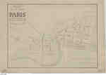
 - Plan of the Town of Paris, 1847

 This is the earliest existing town plan of Paris, which was created in 1847 by F. Herbst based on a survey by Thomas Allchin, the deputy provincial surveyor. The earliest town plan was prepared by Lewis Burwell, but no copies are known to exist. The plan shows all of the …
 This is the earliest existing town plan of Paris, which was created in 1847 by F. Herbst based on a survey by Thomas Allchin, the deputy provincial surveyor. The earliest …County of Brant Public Library
Page 1 of 1


