Results


Page 1 of 1
- Thunder Cape - 1920's
 Black and white photograph of the Thunder Cape, located at the foot of the Sleeping Giant, at the tip of the Sibley Peninsula.
  Black and white photograph of the Thunder Cape, located at the foot of the Sleeping Giant, at the tip of the Sibley Peninsula.Thunder Bay Public Library
 - Hiking on a Sleeping Giant
 Lake Superior Magazine, Sep 2004 Full text available at the Brodie Resource Library
  Lake Superior Magazine, Sep 2004 Full text available at the Brodie Resource LibraryThunder Bay Public Library
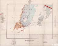
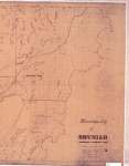
 - The Township of Sibley : District of Thunder Bay
 Map housed at the Brodie Resource Library
  Map housed at the Brodie Resource LibraryThunder Bay Public Library
 - Written in stone ; a photo portfolio
 Fox-Rossi, Lori, Lake Superior Magazine, May 2007 Full text available at the Brodie Resource Libary
  Fox-Rossi, Lori, Lake Superior Magazine, May 2007 Full text available at the Brodie Resource LibaryThunder Bay Public Library
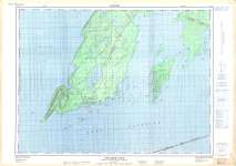
 - Thunder Cape Sheet : Thunder Bay District
 Map housed at the Brodie Resource Library
  Map housed at the Brodie Resource LibraryThunder Bay Public Library
 - 7 Great Fall Drives
 Berg, Bob, Lake Superior Magazine, Sep 2012 Full text available at the Brodie Resource Library
  Berg, Bob, Lake Superior Magazine, Sep 2012 Full text available at the Brodie Resource LibraryThunder Bay Public Library
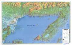
 - Thunder Bay (Lake Superior Gitchee Gumee)
 Map housed at the Brodie Resource Library
  Map housed at the Brodie Resource LibraryThunder Bay Public Library
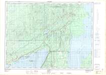
 - Loon : Thunder Bay District
 Map housed at the Brodie Resource Library
  Map housed at the Brodie Resource LibraryThunder Bay Public Library
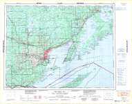
 - Thunder Cape : Canada - United States of America
 Map housed at the Brodie Resource Library
  Map housed at the Brodie Resource LibraryThunder Bay Public Library
 - Uranium in water (ppb) : Fort William sheet and part of Nipigon sheet
 Map housed at the Brodie Resource Library
  Map housed at the Brodie Resource LibraryThunder Bay Public Library
 - Thunder Bay
 CrimeStoppers - North of Superior Explorer Map Series Map housed at the Brodie Resource Library
  CrimeStoppers - North of Superior Explorer Map Series Map housed at the Brodie Resource LibraryThunder Bay Public Library
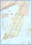
 - Sleeping Giant : Interior Trails
 This is verso of the Sleeping Giant Provincial Park Map 208. Housed at the Brodie Resource Library
  This is verso of the Sleeping Giant Provincial Park Map 208. Housed at the Brodie Resource LibraryThunder Bay Public Library
 - Municipality of Shuniah (McGregor & McTavish Twps.) - Left half of map
 See right half of map on separate record Map housed at the Brodie Resource Library
  See right half of map on separate record Map housed at the Brodie Resource LibraryThunder Bay Public Library
 - Municipality of Shuniah (McGregor & McTavish Twps.) - Right half of map
 See left half of map on separate record Map housed at the Brodie Resource Library
  See left half of map on separate record Map housed at the Brodie Resource LibraryThunder Bay Public Library
 - Fort William : Canada - United States
 Map housed at the Brodie Resource Library
  Map housed at the Brodie Resource LibraryThunder Bay Public Library
 - Sleeping Giant Provincial Park
 Map housed at the Brodie Resource Library
  Map housed at the Brodie Resource LibraryThunder Bay Public Library
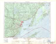
 - Thunder Bay : Canada - United States of America
 Map housed at the Brodie Resource Library
  Map housed at the Brodie Resource LibraryThunder Bay Public Library
 - City of Thunder Bay and Surrounding Townships
 Map housed at the Brodie Resource Library
  Map housed at the Brodie Resource LibraryThunder Bay Public Library
Page 1 of 1


