Results


Page 1 of 1
- Conmee Women's Institute

 Historic District: Thunder Bay Active: No
 Historic District: Thunder Bay Active: NoFederated Women's Institutes of Ontario
 - Conmee Municipal Cemetery

 County/District/Region: Thunder Bay District Historical Township: Conmee Current Municipality: Conmee Lot: 1 south half Concession: 1 Location address: west side of Hwy 11/17, about 1.6 kilometers north of Kakabeka Falls Transcription Status: Transcribed 1988 Registration Status: Registered Location: on west side of Hwy # 11/17, abt. 1.6 km. north of …
 County/District/Region: Thunder Bay District Historical Township: Conmee Current Municipality: Conmee Lot: 1 south half Concession: 1 Location address: west side of Hwy 11/17, about 1.6 kilometers north of Kakabeka Falls …
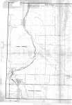
 - Township of Oliver (Left side of map)
 Map housed at the Brodie Resource Library See right side of map on separate record
  Map housed at the Brodie Resource Library See right side of map on separate recordThunder Bay Public Library
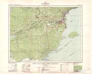
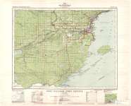
 - Fort William - Port Arthur
 Map housed at the Brodie Resource Library
  Map housed at the Brodie Resource LibraryThunder Bay Public Library
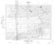
 - Kakabeka Sheet : Thunder Bay District
 Map housed at the Brodie Resource Library
  Map housed at the Brodie Resource LibraryThunder Bay Public Library
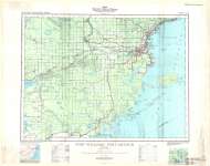
 - Fort William - Port Arthur
 Map housed at the Brodie Resource Library
  Map housed at the Brodie Resource LibraryThunder Bay Public Library
 - Fort William - Port Arthur
 Map housed at the Brodie Resource Library
  Map housed at the Brodie Resource LibraryThunder Bay Public Library
Page 1 of 1


