Results


Page 1 of 1
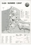
- Map of Glen Bernard Camp, circa 1985
 Black and white map of Glen Bernard Camp. The camp is near Sundridge Ontario. The map is on the top half of the image. In the lower half of the image is a legend and scale.
  Black and white map of Glen Bernard Camp. The camp is near Sundridge Ontario. The map is on the top half of the image. In the lower half of the …Sundridge - Strong Union PL
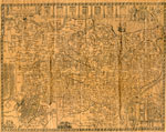
 - The Village of Sundridge, Kent, England

 A replica map of Sundridge, Kent England in 1640. The map is accompanied by a two page history of Sundridge, Kent, England. The history goes into the origins of the British Sundridge, what the area is like today, the history of the church in the area, and the impact of …
 A replica map of Sundridge, Kent England in 1640. The map is accompanied by a two page history of Sundridge, Kent, England. The history goes into the origins of the …Sundridge - Strong Union PL
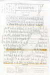
 - Map of Strong Township, 1942

 A map of Strong Township, produced in 1942. It shows the division of property in Strong Township and names of the land owners. Lake Bernard is near the center of the township. There is a legend at the bottom of the map. Machar Township borders on the north, Chapman on …
 A map of Strong Township, produced in 1942. It shows the division of property in Strong Township and names of the land owners. Lake Bernard is near the center of …Sundridge - Strong Union PL
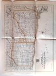
 - Road Map of United Counties of Northumberland and Durham. Dated 1928.

 Road Map of United Counties of Northumberland and Durham. Dated 1928.
 Road Map of United Counties of Northumberland and Durham. Dated 1928.Cobourg Museum Foundation
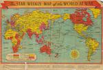
 - The Star Weekly Map of the World at War, 1944

 This is a map that was published in The Star Weekly, Toronto newspaper. The map was published on December 23, 1944 and shows the land that was occupied by the Allies and Axis powers, as well as the land that belonged to the British Empire and neutral countries. The map …
 This is a map that was published in The Star Weekly, Toronto newspaper. The map was published on December 23, 1944 and shows the land that was occupied by the …Waterloo Public Library
 - Waterloo Tennis Club in Waterloo Park Brochure 1990
 For the complete Waterloo Tennis Club: Presidents and Partners collection (including newspaper clippings and additional photos), please visit the Ellis Little Local History Room, Waterloo Public Library.
  For the complete Waterloo Tennis Club: Presidents and Partners collection (including newspaper clippings and additional photos), please visit the Ellis Little Local History Room, Waterloo Public Library.Waterloo Public Library
Page 1 of 1

