Results
We found 3 matching items.


Page 1 of 1
- Lake Ontario Coast Chart No. 2. 1937
 Survey of the south eastern shores of Lake Ontario from Port Bay, to Little Sodus Bay, Fair Haven, Oswego, Texas, Port Ontario to North Big Sandy Pond.
  Survey of the south eastern shores of Lake Ontario from Port Bay, to Little Sodus Bay, Fair Haven, Oswego, Texas, Port Ontario to North Big Sandy Pond.Maritime History of the Great Lakes
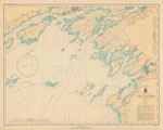
 - Lake Ontario Coast Chart No. 21. 1937
 Survey of the eastern end of Lake Ontario from Stony Point Lighthouse, Sackets Harbor, Cape Vincent, Clayton, Gananoque and Kingtston
  Survey of the eastern end of Lake Ontario from Stony Point Lighthouse, Sackets Harbor, Cape Vincent, Clayton, Gananoque and KingtstonMaritime History of the Great Lakes
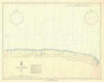
 - Lake Ontario Coast Chart No. 24, 1937
 Survey of the southern shore of Lake Ontario from Charlotte, Braddock Point, Oak Orchard to Thirty Mile Point.
  Survey of the southern shore of Lake Ontario from Charlotte, Braddock Point, Oak Orchard to Thirty Mile Point.Maritime History of the Great Lakes
Page 1 of 1


