Results


Page 1 of 1
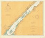
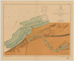
- St. Lawrence River, 1904
 Chippewa Point to Brooks Point; Includes Brockville and Morristown
  Chippewa Point to Brooks Point; Includes Brockville and MorristownMaritime History of the Great Lakes
 - East End of Lake Superior including Whitefish Bay and Head of St. Marys River , 1904

 Maritime History of the Great Lakes
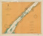
 - St. Lawrence River, 1904
 Chippewa Point to Brooks Point; Includes Brockville and Morristown
  Chippewa Point to Brooks Point; Includes Brockville and MorristownMaritime History of the Great Lakes
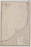
 - Lake Huron: St. Clair River to Goderich
 Canada Lake Huron St. Clair River to Goderich Surveyed by Mr. W. J. Stewart, assisted by Messrs F. Anderson, and R. E. Tyrwhitt, 1901. under the orders of the Government of the Dominion of Canada St. Clair River to Cape Ipperwash from the United States Government Survey, 1859. All heights …
  Canada Lake Huron St. Clair River to Goderich Surveyed by Mr. W. J. Stewart, assisted by Messrs F. Anderson, and R. E. Tyrwhitt, 1901. under the orders of the Government …Maritime History of the Great Lakes
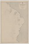
 - Lake Superior: Coppermine Point to Cape Gargantua
 Canada Lake Superior Coppermine Point to Cape Gargantua Surveyed by Mr. W. J. Stewart, 1902. under the orders of the Government of the Dominion of Canada All heights are expressed in feet above the mean level of the lake Magnetic Variation in 1908, increasing about 4' annually. All ...
  Canada Lake Superior Coppermine Point to Cape Gargantua Surveyed by Mr. W. J. Stewart, 1902. under the orders of the Government of the Dominion of Canada All heights are expressed …Maritime History of the Great Lakes
 - Lake Ontario, 1904
 US Hydrographic chart of Lake Ontario
  US Hydrographic chart of Lake OntarioMaritime History of the Great Lakes
 - Lake Michigan: vicinity of Milwaukee, 1904

 Maritime History of the Great Lakes
 - Harbor at Michigan City, Indiana, 1904

 Maritime History of the Great Lakes
Page 1 of 1

