Results
We found 8 matching items.


Page 1 of 1
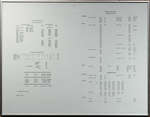
- Engine Distribution Chart

 Framed chart that contains information about the engine distribution in Ontario.
 Framed chart that contains information about the engine distribution in Ontario.Schreiber Heritage & Tourism Committee
 - Hand Drawn maps of streets
 3 hand drawn maps of the streets of Schreiber from approximately 1918.
  3 hand drawn maps of the streets of Schreiber from approximately 1918.Schreiber Public Library
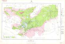
 - Schreiber Area : District of Thunder Bay, Ontario
 Map housed at the Brodie Resource Library
  Map housed at the Brodie Resource LibraryThunder Bay Public Library
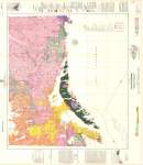
 - Nipigon-Schreiber : Geological Compilation Series
 Map housed at the Brodie Resource Library
  Map housed at the Brodie Resource LibraryThunder Bay Public Library
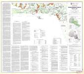
 - Ontario Mineral Potential : Schreiber Sheet
 Map housed at the Brodie Resource Library
  Map housed at the Brodie Resource LibraryThunder Bay Public Library
 - Schreiber : Thunder Bay District
 Map housed at the Brodie Resource Library
  Map housed at the Brodie Resource LibraryThunder Bay Public Library
 - Schreiber : Thunder Bay District
 Map housed at the Brodie Resource Library
  Map housed at the Brodie Resource LibraryThunder Bay Public Library
 - Geraldton - White River
 Map housed at the Brodie Resource Library
  Map housed at the Brodie Resource LibraryThunder Bay Public Library
Page 1 of 1

