Results
We found 4 matching items.


Page 1 of 1
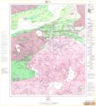
- Hemlo : Thunder Bay District
 Map housed at the Brodie Resource Library
  Map housed at the Brodie Resource LibraryThunder Bay Public Library
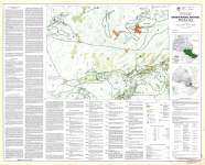
 - Ontario Mineral Potential : White River Sheet
 Map housed at the Brodie Resource Library
  Map housed at the Brodie Resource LibraryThunder Bay Public Library
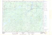
 - Cedar Lake : Thunder Bay District
 Map housed at the Brodie Resource Library
  Map housed at the Brodie Resource LibraryThunder Bay Public Library
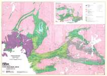
 - Hemlo Gold Belt (including Terrace Bay Area) Northwestern Ontario
 From Canadian Mines Handbook 1983-84 : Gold Discovery Areas in Ontario, Quebec and Washington State Map housed at the Brodie Resource Library
  From Canadian Mines Handbook 1983-84 : Gold Discovery Areas in Ontario, Quebec and Washington State Map housed at the Brodie Resource LibraryThunder Bay Public Library
Page 1 of 1


