Results
We found 8 matching items.


Page 1 of 1
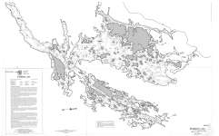
- Sturgeon Lake (North Section)
 Map housed at the Brodie Resource Library
  Map housed at the Brodie Resource LibraryThunder Bay Public Library
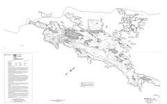
 - Sturgeon Lake (South Section)
 Map housed at the Brodie Resource Library
  Map housed at the Brodie Resource LibraryThunder Bay Public Library
 - Waterfront at Greenhurst
 Local postcard collection housed at the Lindsay branch of the Kawartha Lakes Public library.
  Local postcard collection housed at the Lindsay branch of the Kawartha Lakes Public library.Kawartha Lakes Public Library
 - Long Beach
 Local postcard collection housed at the Lindsay branch of the Kawartha Lakes Public library.
  Local postcard collection housed at the Lindsay branch of the Kawartha Lakes Public library.Kawartha Lakes Public Library
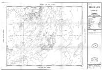
 - Area of Squaw Lake : District of Thunder Bay
 Map housed at the Brodie Resource Library
  Map housed at the Brodie Resource LibraryThunder Bay Public Library
 - The Landing at Lunge Haven
 Local postcard collection housed at the Lindsay branch of the Kawartha Lakes Public library.
  Local postcard collection housed at the Lindsay branch of the Kawartha Lakes Public library.Kawartha Lakes Public Library
 - Ouilette Lake - Coveney Island Sheet : Sturgeon Lake Area
 Map housed at the Brodie Resource Library
  Map housed at the Brodie Resource LibraryThunder Bay Public Library
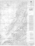
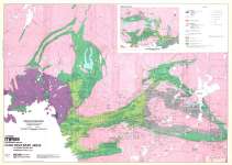
 - Hemlo Gold Belt (including Terrace Bay Area) Northwestern Ontario
 From Canadian Mines Handbook 1983-84 : Gold Discovery Areas in Ontario, Quebec and Washington State Map housed at the Brodie Resource Library
  From Canadian Mines Handbook 1983-84 : Gold Discovery Areas in Ontario, Quebec and Washington State Map housed at the Brodie Resource LibraryThunder Bay Public Library
Page 1 of 1

