Results
We found 315 matching items.


- Men
 Tintypes were popular from 1856 until approximately the early 1900s.
  Tintypes were popular from 1856 until approximately the early 1900s.Waterloo Public Library
 - Couples
 Tintypes were popular from 1856 until approximately the early 1900s.
  Tintypes were popular from 1856 until approximately the early 1900s.Waterloo Public Library
 - Boys
 Tintypes were popular from 1856 until approximately the early 1900s.
  Tintypes were popular from 1856 until approximately the early 1900s.Waterloo Public Library
 - Women
 Tintypes were popular from 1856 until approximately the early 1900s. Image is faded and has deteriorated.
  Tintypes were popular from 1856 until approximately the early 1900s. Image is faded and has deteriorated.Waterloo Public Library
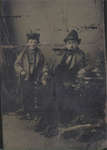
 - Man and boy
 Tintypes were popular from 1856 until approximately the early 1900s.
  Tintypes were popular from 1856 until approximately the early 1900s.Waterloo Public Library
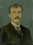
 - Mayor Louis F. Dietrich, Waterloo, Ontario
 Mayor of Waterloo in 1929 and 1930; owner of Dietrich's Garage, Waterloo. http://www.waterloo.ca/en/government/louis-dietrich.asp
  Mayor of Waterloo in 1929 and 1930; owner of Dietrich's Garage, Waterloo. http://www.waterloo.ca/en/government/louis-dietrich.aspWaterloo Public Library
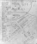
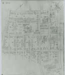
 - Fire Insurance Map 1942, Map 16
 Fire Insurance map from 1942 of north central Waterloo in two sections, along Albert Street from Dearborn (later University Avenue) to North (later Columbia) Street, considered the city limits; and along King Street from Schneider's Road (later University Avenue) to North (later Columbia Street). Also shown is Hill Street at …
  Fire Insurance map from 1942 of north central Waterloo in two sections, along Albert Street from Dearborn (later University Avenue) to North (later Columbia) Street, considered the city limits; and …Waterloo Public Library
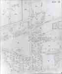
 - Fire Insurance Map 1942, Map 5
 Fire Insurance map from 1942 of the southeast business district of Waterloo, Erb Street to the north, George Street to the south, King Street to the west and Willow Street (not visible) to the east. Some of the businesses visible on the map include: L.J. Klopp, Dry Goods; Rennel Drugs; …
  Fire Insurance map from 1942 of the southeast business district of Waterloo, Erb Street to the north, George Street to the south, King Street to the west and Willow Street …Waterloo Public Library
 - Fire Insurance Map 1942, Map 6
 Earl Street became Severn Avenue. Fischer Street became Belmont Avenue. Victoria Street became Avondale Avenue.
  Earl Street became Severn Avenue. Fischer Street became Belmont Avenue. Victoria Street became Avondale Avenue.Waterloo Public Library
 - Fire Insurance Map 1942, Map 13
 1946, 1951 and 1956 show a service station and White Rose Inn and restaurant at 188 King north. Unclear if the service station and inn were jointly owned or two separate businesses. Main Street became Lodge Street. Schneider's Road became University Avenue at King Street. Snider Street became Fountain Street. …
  1946, 1951 and 1956 show a service station and White Rose Inn and restaurant at 188 King north. Unclear if the service station and inn were jointly owned or two …Waterloo Public Library
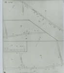
 - Fire Insurance Map 1942, Map 14
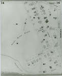
 Fire Insurance map from 1942 of a northwest section of of Waterloo, Erb Street between McDougall Avenue and Amos Avenue. A separate section showing Bridgeport Road and Margaret Avenue is included.
  Fire Insurance map from 1942 of a northwest section of of Waterloo, Erb Street between McDougall Avenue and Amos Avenue. A separate section showing Bridgeport Road and Margaret Avenue is …Waterloo Public Library
 - Fire Insurance Map 1942, Map 15
 Victoria Street became Avondale Avenue. Shantz Street became Canbar Avenue and no longer exists. Knox Avenue no longer exists. Elizabeth Street became Beverley Street. Rudy Street became Roslin Avenue. Charles Street became Dunbar Avenue.
  Victoria Street became Avondale Avenue. Shantz Street became Canbar Avenue and no longer exists. Knox Avenue no longer exists. Elizabeth Street became Beverley Street. Rudy Street became Roslin Avenue. Charles …Waterloo Public Library
 - Fire Insurance Map, 1908 - 1913, Map 4
 1908 map updated to 1913. Duke Street later became Dupont Street. See Detail images for closer view of map.
  1908 map updated to 1913. Duke Street later became Dupont Street. See Detail images for closer view of map.Waterloo Public Library
 - Fire Insurance Map 1908 - 1913, Map 14
 1908 map updated to 1913.
  1908 map updated to 1913.Waterloo Public Library
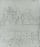
 - Fire Insurance Map 1908 - 1913 Legend
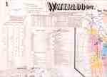
 1908 map updated to 1913. See detail photographs for enhanced view of the map.
  1908 map updated to 1913. See detail photographs for enhanced view of the map.Waterloo Public Library
 - Fire Insurance Map, 1908 -1913, Map 2
 1908 map updated to 1913. Water Street later became Dorset Street. Cedar Street later became Bridgeport Road. See Detail images for closer view of map.
  1908 map updated to 1913. Water Street later became Dorset Street. Cedar Street later became Bridgeport Road. See Detail images for closer view of map.Waterloo Public Library
 - Fire Insurance Map, 1908 - 1913, Map 3
 1908 map updated to 1913. Cedar Street later became Bridgeport Road and was also called Laurel Street east of Peppler. See Detail images for closer view of map.
  1908 map updated to 1913. Cedar Street later became Bridgeport Road and was also called Laurel Street east of Peppler. See Detail images for closer view of map.Waterloo Public Library
 - Fire Insurance Map, 1908 - 1913, Map 5
 1908 map updated to 1913. Duke Street later became Dupont Street. Bridgeport Road also called Laurel Street. See Detail images for closer view of map.
  1908 map updated to 1913. Duke Street later became Dupont Street. Bridgeport Road also called Laurel Street. See Detail images for closer view of map.Waterloo Public Library
 - Fire Insurance Map 1942, Map 2
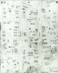
 Fire Insurance map of southwest business district of Waterloo, Young Street to the north, Duke (later Dupont) Street to the south, Albert Street to the west and King Street to the east. Town Hall, Library, Fire Hall and Market building as well as many businesses identified on the map.
  Fire Insurance map of southwest business district of Waterloo, Young Street to the north, Duke (later Dupont) Street to the south, Albert Street to the west and King Street to …Waterloo Public Library
 - Fire Insurance Map 1942, Map 3
 1942 Map. Duke Street became Dupont Street. Queen Street became Regina Street. Cedar Street became Bridgeport Road and was also called Laurel Street east of Peppler Street.
  1942 Map. Duke Street became Dupont Street. Queen Street became Regina Street. Cedar Street became Bridgeport Road and was also called Laurel Street east of Peppler Street.Waterloo Public Library

