Results
We found 2482 matching items.


- Harbor of Fort William -- Steamer Huronic leaving for Detroit -- Ontario Canada
 Stereoview of Northern Navigation Company steamboat HURONIC departing Fort William, ON into Lake Superior. ON the left some railroad cars stand underneath a coal trestle, where the Pioneer Steamship Company (Hutchison) lake freighter WILLIAM A. PAINE lies alongside. In the background along the Kaministiquia River are three grain elevators with …
  Stereoview of Northern Navigation Company steamboat HURONIC departing Fort William, ON into Lake Superior. ON the left some railroad cars stand underneath a coal trestle, where the Pioneer Steamship Company …Maritime History of the Great Lakes
 - 19,000 cords of Pulpwood at Fort William, Ontario
 This wood may have been delivered by ship as much as by the rail lines to Fort William.
  This wood may have been delivered by ship as much as by the rail lines to Fort William.Maritime History of the Great Lakes
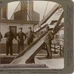
 - Loading Steamers with Wheat from Elevators -- Fort William, Ontario, Canada
 Three crew and an officer observer the loading of grain through an open hatch, standing just forward of the engine space. A grain elevator can be seen in the background.
  Three crew and an officer observer the loading of grain through an open hatch, standing just forward of the engine space. A grain elevator can be seen in the background.Maritime History of the Great Lakes
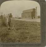
 - Grain elevator, Fort William, Lake Superior, one outlet for Manitoba wheat

 Stereoview of two steamboats loading grain at the Canadian Pacific Railway elevators at Fort William. An adult watches two children play with a cat in the foreground.
 Stereoview of two steamboats loading grain at the Canadian Pacific Railway elevators at Fort William. An adult watches two children play with a cat in the foreground.Maritime History of the Great Lakes
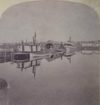
 - Fort William
 Stereoview of the paddlewheeled steamboat MANITOBA at the dock with the Hudson Bay trading post, Fort William, in the background. MANITOBA is moored in the Kaministiquia River.
  Stereoview of the paddlewheeled steamboat MANITOBA at the dock with the Hudson Bay trading post, Fort William, in the background. MANITOBA is moored in the Kaministiquia River.Maritime History of the Great Lakes
 - Prince Arthur's Landing
 The community's name was changed to Port Arthur in 1883. Illingworth moved to East Seventh St. in St. Paul in 1873
  The community's name was changed to Port Arthur in 1883. Illingworth moved to East Seventh St. in St. Paul in 1873Maritime History of the Great Lakes
 - Unloading coal -- a modern lake steamer at Fort William, Ontario Canada
 This is a companion to a stereoview of the HURONIC in the river, taken from behind the current vantage point.
  This is a companion to a stereoview of the HURONIC in the river, taken from behind the current vantage point.Maritime History of the Great Lakes
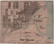
 - Map of Fort William, Ontario (1913)
 City map of Fort William, Ontario in 1913. This map by prepared and sold by E.R. Bingham. To view this map, simply click on the Document (PDF) link located directly underneath the image.
  City map of Fort William, Ontario in 1913. This map by prepared and sold by E.R. Bingham. To view this map, simply click on the Document (PDF) link located directly …Thunder Bay Public Library
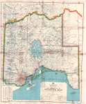
 - The District of Thunder Bay ; and Parts of the Districts of Cochrane and Kenora, Patricia Portion
 Map housed at the Brodie Resource Library
  Map housed at the Brodie Resource LibraryThunder Bay Public Library
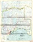
 - District of Thunder Bay
 Map housed at the Brodie Resource Library
  Map housed at the Brodie Resource LibraryThunder Bay Public Library
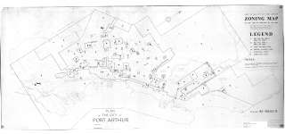
 - Copy of the City of Port Arthur Zoning Map
 Map housed at the Brodie Resource Library
  Map housed at the Brodie Resource LibraryThunder Bay Public Library
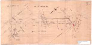
 - Proposed Highway (Lakehead Expressway)
 Map housed at the Brodie Resource Library
  Map housed at the Brodie Resource LibraryThunder Bay Public Library
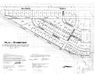
 - Plan of Resubdivision : City of Fort William
 Map housed at the Brodie Resource Library
  Map housed at the Brodie Resource LibraryThunder Bay Public Library
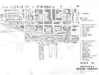
 - Plate 16 Physical Design Concept (Port Arthur Waterfront)
 Map housed at the Brodie Resource Library
  Map housed at the Brodie Resource LibraryThunder Bay Public Library
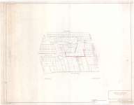
 - Proposed Subdivision : Thunder Bay (Port Arthur)
 Map housed at the Brodie Resource Library
  Map housed at the Brodie Resource LibraryThunder Bay Public Library
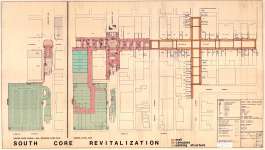
 - South Core Revitalization
 Map housed at the Brodie Resource Library
  Map housed at the Brodie Resource LibraryThunder Bay Public Library
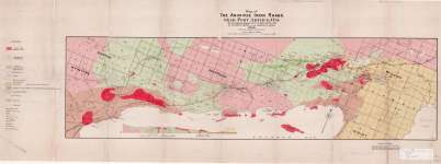
 - Map of The Animikie Iron Range Near Port Arthur, Ont.
 Map housed at the Brodie Resource Library
  Map housed at the Brodie Resource LibraryThunder Bay Public Library
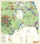
 - Thunder Bay : Surficial Geology
 Map housed at the Brodie Resource Library
  Map housed at the Brodie Resource LibraryThunder Bay Public Library
 - Port Arthur Area : Gunflint Iron Range
 Map housed at the Brodie Resource Library
  Map housed at the Brodie Resource LibraryThunder Bay Public Library
 - Quaternary geology and industrial mineral resources of the city of Thunder Bay
 Map housed at the Brodie Resource Library
  Map housed at the Brodie Resource LibraryThunder Bay Public Library


