Results
We found 8 matching items.


Page 1 of 1
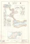
- International Boundary from the Northwesternmost point of Lake of the Woods to Lake Superior -- Sheet No. 25
 Map housed at the Brodie Resource Library
  Map housed at the Brodie Resource LibraryThunder Bay Public Library
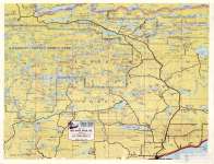
 - Lakes Adjacent Gunflint Trail
 Map housed at the Brodie Resource Library
  Map housed at the Brodie Resource LibraryThunder Bay Public Library
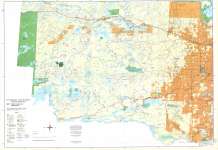
 - Northern Light Lake / Shebandowan
 CrimeStoppers - North of Superior Explorer Map Series Map housed at the Brodie Resource Library
  CrimeStoppers - North of Superior Explorer Map Series Map housed at the Brodie Resource LibraryThunder Bay Public Library
 - Taylor and Mackie Camp

 This is a view of Taylor and Mackie lumber camp near Whitefish Lake, Ontario. Past it ran the tracks of the PD&W railway. The Port Arthur Duluth and Western Railway officially opened in 1893 and ran from Port Arthur to Gunflint Lake, then crossed into Minnesota to the Paulson iron …
 This is a view of Taylor and Mackie lumber camp near Whitefish Lake, Ontario. Past it ran the tracks of the PD&W railway. The Port Arthur Duluth and Western Railway …Thunder Bay Public Library
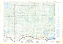
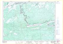
 - Pigeon River : Thunder Bay District
 Map housed at the Brodie Resource Library
  Map housed at the Brodie Resource LibraryThunder Bay Public Library
 - Saganaga Lake : Canada - United States of America
 Map housed at the Brodie Resource Library
  Map housed at the Brodie Resource LibraryThunder Bay Public Library
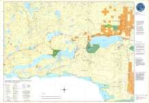
 - Northern Lights Country East
 CrimeStoppers - North of Superior Explorer Map Series Map housed at the Brodie Resource Library
  CrimeStoppers - North of Superior Explorer Map Series Map housed at the Brodie Resource LibraryThunder Bay Public Library
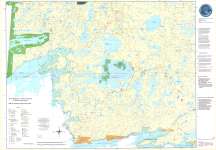
 - Northern Lights Country West
 CrimeStoppers - North of Superior Explorer Map Series Map housed at the Brodie Resource Library
  CrimeStoppers - North of Superior Explorer Map Series Map housed at the Brodie Resource LibraryThunder Bay Public Library
Page 1 of 1

