Results
We found 9 matching items.


Page 1 of 1
- Name Carved on Rocks, St. Ignace Island

 Black and white photograph of the name Bushnel, carved into the rock on St. Ignace Island, Lake Superior.
 Black and white photograph of the name Bushnel, carved into the rock on St. Ignace Island, Lake Superior.Thunder Bay Public Library
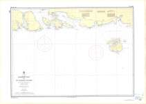
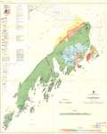
 - Jackfish Bay to St. Ignace Island : Lake Superior
 Map housed at the Brodie Resource Library
  Map housed at the Brodie Resource LibraryThunder Bay Public Library
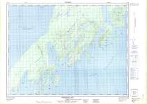
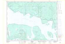
 - Shesheeb Bay : Thunder Bay District
 Map housed at the Brodie Resource Library
  Map housed at the Brodie Resource LibraryThunder Bay Public Library
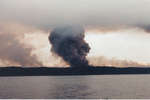
 - Fire on St. Ignace Island
 Colour postcard showing the St. Ignace Island fire. The back of the postcard reads "St. Ignace Island: Wild fire as it allowed to burn in any park to 'let nature take its course'. Viewed from Trans Canada Highway on Lake Superior's famous 'Circle Route' east of Nipigon".
  Colour postcard showing the St. Ignace Island fire. The back of the postcard reads "St. Ignace Island: Wild fire as it allowed to burn in any park to 'let nature …Thunder Bay Public Library
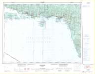
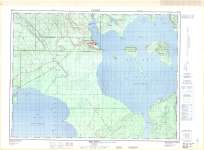
 - Schreiber : Thunder Bay District
 Map housed at the Brodie Resource Library
  Map housed at the Brodie Resource LibraryThunder Bay Public Library
 - Rossport : Thunder Bay District
 Map housed at the Brodie Resource Library
  Map housed at the Brodie Resource LibraryThunder Bay Public Library
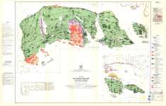
 - St. Ignace Island and Adjacent Islands : Thunder Bay District
 Map housed at the Brodie Resource Library
  Map housed at the Brodie Resource LibraryThunder Bay Public Library
 - Black Bay Peninsula : Thunder Bay District
 Map housed at the Brodie Resource Library
  Map housed at the Brodie Resource LibraryThunder Bay Public Library
 - Red Rock : Thunder Bay District
 Map housed at the Brodie Resource Library
  Map housed at the Brodie Resource LibraryThunder Bay Public Library
Page 1 of 1


