Results
We found 1191 matching items.


- Italian Department records, 1969-2020
 Accruals: Further accruals are expected. The dates of these records are not inclusive. There are records for 1969 to 2007 and then for 2013-2019.
  Accruals: Further accruals are expected. The dates of these records are not inclusive. There are records for 1969 to 2007 and then for 2013-2019.St. Jerome's University Library
 - Office of the Vice-President Academic and Dean: James A. Wahl, C.R., 1970-1975
 Accruals: No further accruals are expected.
  Accruals: No further accruals are expected.St. Jerome's University Library
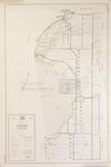
 - LHM060 Wall Map of County of Ontario, North Portion
 Scale on map listed as 1" to 1 mile
  Scale on map listed as 1" to 1 mileOshawa Public Libraries
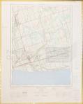
 - LHM075 Newcastle (map)
 Information depicted current as of 1964, map printed in 1969.
  Information depicted current as of 1964, map printed in 1969.Oshawa Public Libraries
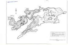
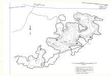
 - Beatty Lake

 Map housed at the Brodie Resource Library
 Map housed at the Brodie Resource LibraryThunder Bay Public Library
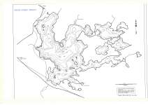
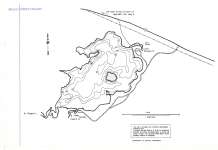
 - Eva Lake
 Map housed at the Brodie Resource Library
  Map housed at the Brodie Resource LibraryThunder Bay Public Library
 - Factor Lake
 Map housed at the Brodie Resource Library
  Map housed at the Brodie Resource LibraryThunder Bay Public Library
 - French Lake
 Map housed at the Brodie Resource Library
  Map housed at the Brodie Resource LibraryThunder Bay Public Library
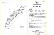
 - Finlayson Lake
 Map housed at the Brodie Resource Library
  Map housed at the Brodie Resource LibraryThunder Bay Public Library
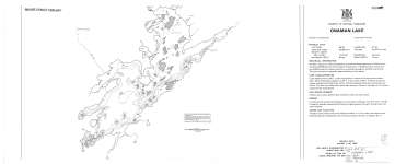
 - Onaman Lake
 Map housed at the Brodie Resource Library
  Map housed at the Brodie Resource LibraryThunder Bay Public Library
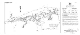
 - Partridge Lake
 Map housed at the Brodie Resource Library
  Map housed at the Brodie Resource LibraryThunder Bay Public Library
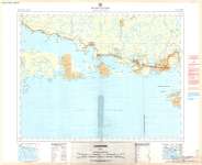
 - Schreiber (Provincial Series)
 Map housed at the Brodie Resource Library
  Map housed at the Brodie Resource LibraryThunder Bay Public Library
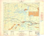
 - Lac Des Mille Lacs (Provincial Series)
 Map housed at the Brodie Resource Library
  Map housed at the Brodie Resource LibraryThunder Bay Public Library
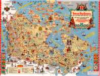
 - Hudson's Bay Company : Historic Trading Posts and Territories of the Governor & Company of Adventurers of England Trading into Hudson's Bay
 Map housed at the Brodie Resource Library
  Map housed at the Brodie Resource LibraryThunder Bay Public Library
 - Trout Lake
 Map housed at the Brodie Resource Library
  Map housed at the Brodie Resource LibraryThunder Bay Public Library
 - Tectonic map of Canada (Legend)
 Map housed at the Brodie Resource Library. See accompanying map GSC 1251A on separate record.
  Map housed at the Brodie Resource Library. See accompanying map GSC 1251A on separate record.Thunder Bay Public Library
 - Mineral deposits of Canada (West)
 Map housed at the Brodie Resource Library. See accompanying East map and legend on separate record.
  Map housed at the Brodie Resource Library. See accompanying East map and legend on separate record.Thunder Bay Public Library
 - Mineral deposits of Canada (East)
 Map housed at the Brodie Resource Library. See accompanying West map and legend on separate record
  Map housed at the Brodie Resource Library. See accompanying West map and legend on separate recordThunder Bay Public Library
 - Tectonic map of Canada
 Map housed at the Brodie Resource Library. See accompanying map legend on separate record.
  Map housed at the Brodie Resource Library. See accompanying map legend on separate record.Thunder Bay Public Library
 - Indian Reserves in Ontario (North Sheet)
 Map housed at the Brodie Resource Library
  Map housed at the Brodie Resource LibraryThunder Bay Public Library


