Results
We found 132 matching items.


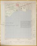
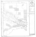
- LHM074 Whitby (map)
 Information depicted current as of 1965, map printed in 1968.
  Information depicted current as of 1965, map printed in 1968.Oshawa Public Libraries
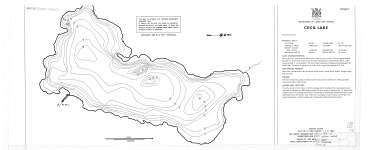
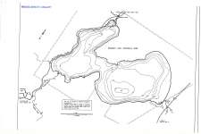
 - Cecil Lake
 Map housed at the Brodie Resource Library
  Map housed at the Brodie Resource LibraryThunder Bay Public Library
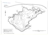
 - Crystal Lake
 Map housed at the Brodie Resource Library
  Map housed at the Brodie Resource LibraryThunder Bay Public Library
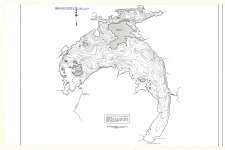
 - Greenwater Lake
 Map housed at the Brodie Resource Library
  Map housed at the Brodie Resource LibraryThunder Bay Public Library
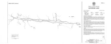
 - Gathering Lake
 Map housed at the Brodie Resource Library
  Map housed at the Brodie Resource LibraryThunder Bay Public Library
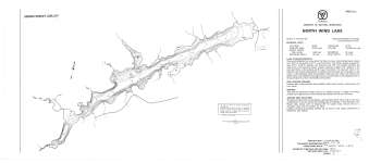
 - North Wind Lake
 Map housed at the Brodie Resource Library
  Map housed at the Brodie Resource LibraryThunder Bay Public Library
 - Sandbar Lake
 Map housed at the Brodie Resource Library
  Map housed at the Brodie Resource LibraryThunder Bay Public Library
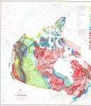
 - Geological Map of Canada
 Map housed at the Brodie Resource Library. See accompanying map legend on separate record.
  Map housed at the Brodie Resource Library. See accompanying map legend on separate record.Thunder Bay Public Library
 - Geological Map of Canada (Legend)
 Map housed at the Brodie Resource Library. See accompanying map GSC 1250A on separate record.
  Map housed at the Brodie Resource Library. See accompanying map GSC 1250A on separate record.Thunder Bay Public Library
 - Ware : District of Thunder Bay
 Map housed at the Brodie Resource Library
  Map housed at the Brodie Resource LibraryThunder Bay Public Library
 - Lismore : District of Thunder Bay
 Map housed at the Brodie Resource Library
  Map housed at the Brodie Resource LibraryThunder Bay Public Library
 - Tp. of Oliver : Thunder Bay District
 Map housed at the Brodie Resource Centre
  Map housed at the Brodie Resource CentreThunder Bay Public Library
 - The Township of Pardee : District of Thunder Bay
 Map housed at the Brodie Resource Library
  Map housed at the Brodie Resource LibraryThunder Bay Public Library
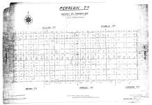
 - Pearson Tp. : District of Thunder Bay
 Map housed at the Brodie Resource Library
  Map housed at the Brodie Resource LibraryThunder Bay Public Library
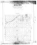
 - Gillies
 Map housed at the Brodie Resource Library
  Map housed at the Brodie Resource LibraryThunder Bay Public Library
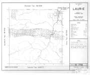
 - The Township of Laurie : District of Thunder Bay
 Map housed at the Brodie Resource Library
  Map housed at the Brodie Resource LibraryThunder Bay Public Library
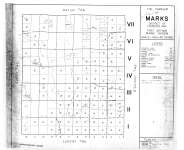
 - The Township of Marks : District of Thunder Bay
 Map housed at the Brodie Resource Library
  Map housed at the Brodie Resource LibraryThunder Bay Public Library
 - The Township of Devon : District of Thunder Bay
 Map housed at the Brodie Resource Library
  Map housed at the Brodie Resource LibraryThunder Bay Public Library
 - Dryden : Kenora District
 Map housed at the Brodie Resource Library
  Map housed at the Brodie Resource LibraryThunder Bay Public Library
 - Dryden : Kenora District
 Map housed at the Brodie Resource Library
  Map housed at the Brodie Resource LibraryThunder Bay Public Library

