Results


Page 1 of 1
- LHM059 East Whitby Centennial Map
 Illustrated Historical Atlas of the County of Ontario, Ont. (Toronto, Ontario: J.H. Beers & Co., 1877), 1967 This is a 1967 Centennial reproduction based on the Ontario COunty Historical Atlas from 1877.
  Illustrated Historical Atlas of the County of Ontario, Ont. (Toronto, Ontario: J.H. Beers & Co., 1877), 1967 This is a 1967 Centennial reproduction based on the Ontario COunty Historical Atlas from 1877.Oshawa Public Libraries
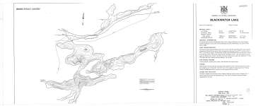
 - Blackwater Lake
 Map housed at the Brodie Resource Library
  Map housed at the Brodie Resource LibraryThunder Bay Public Library
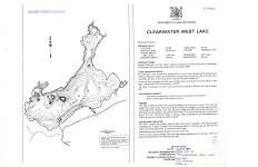
 - Clearwater West Lake
 Map housed at the Brodie Resource Library
  Map housed at the Brodie Resource LibraryThunder Bay Public Library
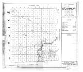
 - The Township of O'Connor : District of Thunder Bay
 Map housed at the Brodie Resource Library
  Map housed at the Brodie Resource LibraryThunder Bay Public Library
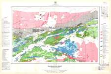
 - Kashabowie Sheet : Thunder Bay District
 Map housed at the Brodie Resource Library
  Map housed at the Brodie Resource LibraryThunder Bay Public Library
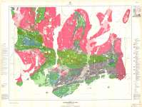
 - Greenwater Lake Sheet : Thunder Bay District
 Map housed at the Brodie Resource Library
  Map housed at the Brodie Resource LibraryThunder Bay Public Library
 - Jackfish-Middleton Area : Thunder Bay District
 Map housed at the Brodie Resource Library
  Map housed at the Brodie Resource LibraryThunder Bay Public Library
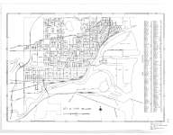
 - City of Fort William
 Map housed at the Brodie Resource Library
  Map housed at the Brodie Resource LibraryThunder Bay Public Library
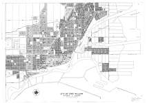
 - City of Fort William
 Map housed at the Brodie Resource Library
  Map housed at the Brodie Resource LibraryThunder Bay Public Library
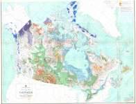
 - Glacial map of Canada
 Map housed at the Brodie Resource Library. See accompanying Glacial Map of Canada (Upper Half and Legend) on separate file
  Map housed at the Brodie Resource Library. See accompanying Glacial Map of Canada (Upper Half and Legend) on separate fileThunder Bay Public Library
Page 1 of 1


