Results


Page 1 of 1
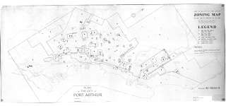
- Copy of the City of Port Arthur Zoning Map
 Map housed at the Brodie Resource Library
  Map housed at the Brodie Resource LibraryThunder Bay Public Library
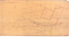
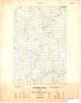
 - White's Survey, MacGregor Township
 Map housed at the Brodie Resource Library
  Map housed at the Brodie Resource LibraryThunder Bay Public Library
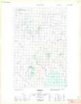
 - Loon : Ontario (West)
 Map housed at Brodie Resource Library
  Map housed at Brodie Resource LibraryThunder Bay Public Library
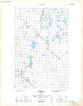
 - Loon : Ontario (East)
 Map housed at the Brodie Resource Library
  Map housed at the Brodie Resource LibraryThunder Bay Public Library
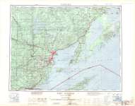
 - Fort William : Canada - United States
 Map housed at the Brodie Resource Library
  Map housed at the Brodie Resource LibraryThunder Bay Public Library
 - Kakabeka Falls (West)
 Map housed at the Brodie Resource Library
  Map housed at the Brodie Resource LibraryThunder Bay Public Library
 - Upsala
 Map housed at the Brodie Resource Library
  Map housed at the Brodie Resource LibraryThunder Bay Public Library
 - Upsala
 Map housed at the Brodie Resource Library
  Map housed at the Brodie Resource LibraryThunder Bay Public Library
 - LHM015 Lake Ontario map (from Toronto to Oshawa)
 This nautical map shows the lakeshore and Lake Ontario between Toronto to Oshawa.
  This nautical map shows the lakeshore and Lake Ontario between Toronto to Oshawa.Oshawa Public Libraries
Page 1 of 1

