Results
We found 630 matching items.


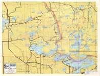
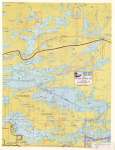
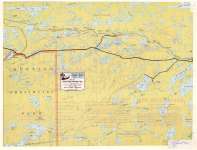
- Vermilion - Trout Lakes
 Map housed at the Brodie Resource Library
  Map housed at the Brodie Resource LibraryThunder Bay Public Library
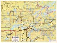
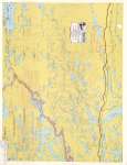
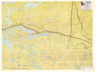
 - Burntside - Basswood Lakes
 Map housed at the Brodie Resource Library
  Map housed at the Brodie Resource LibraryThunder Bay Public Library
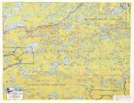
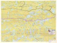
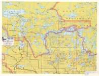
 - Moose - Knife - Insula Lakes
 Map housed at the Brodie Resource Library
  Map housed at the Brodie Resource LibraryThunder Bay Public Library
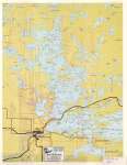
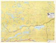
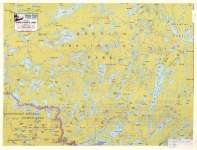
 - West Rainy Lake
 Map housed at the Brodie Resource Library
  Map housed at the Brodie Resource LibraryThunder Bay Public Library
 - East Rainy - Kabetogama Lakes
 Map housed at the Brodie Resource Library
  Map housed at the Brodie Resource LibraryThunder Bay Public Library
 - Beaverhouse - Quetico Lakes
 Map housed at the Brodie Resource Library
  Map housed at the Brodie Resource LibraryThunder Bay Public Library
 - Jean - Pickerel Lakes
 Map housed at the Brodie Resource Library
  Map housed at the Brodie Resource LibraryThunder Bay Public Library
 - Arrow - Rose - Mountain Lakes
 Map housed at the Brodie Resource Library
  Map housed at the Brodie Resource LibraryThunder Bay Public Library
 - McKenzie - Upper Shebandowan Lakes
 Map housed at the Brodie Resource Library
  Map housed at the Brodie Resource LibraryThunder Bay Public Library
 - Lower Shebandowan Lake
 Map housed at the Brodie Resource Library
  Map housed at the Brodie Resource LibraryThunder Bay Public Library
 - Crane - Sand Point - Lac La Croix
 Map housed at the Brodie Resource Library
  Map housed at the Brodie Resource LibraryThunder Bay Public Library
 - Crooked - Agnes Lakes
 Map housed at Brodie Resource Library
  Map housed at Brodie Resource LibraryThunder Bay Public Library
 - Seagull - Saganaga - Northern Light Lakes
 Map housed at the Brodie Resource Library
  Map housed at the Brodie Resource LibraryThunder Bay Public Library
 - Lakes Adjacent Gunflint Trail
 Map housed at the Brodie Resource Library
  Map housed at the Brodie Resource LibraryThunder Bay Public Library
 - North-South Fowl-Pigeon River
 Map housed at the Brodie Resource Library
  Map housed at the Brodie Resource LibraryThunder Bay Public Library
 - Jarvis River : Thunder Bay District
 Map housed at the Brodie Resource Library
  Map housed at the Brodie Resource LibraryThunder Bay Public Library
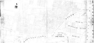
 - City of Fort William
 Map housed at the Brodie Resource Library
  Map housed at the Brodie Resource LibraryThunder Bay Public Library
 - St. John's Lutheran Church, Waterloo, Ontario
 Original wood frame church building at King and Bridgeport (formerly Cedar and Laurel Street) Road constructed in 1837. The structure was torn down and the land sold to the federal government in 1882, and a second larger, brick church was constructed. This second building was destroyed by fire on November …
  Original wood frame church building at King and Bridgeport (formerly Cedar and Laurel Street) Road constructed in 1837. The structure was torn down and the land sold to the federal …Waterloo Public Library
 - Wrigglesworth Public School - built in 1952 and closed in 1986.
 Wrigglesworth public school, 96 Guelph Street, was built in 1952 and closed in 1986.
  Wrigglesworth public school, 96 Guelph Street, was built in 1952 and closed in 1986.Esquesing Historical Society
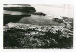
 - Village of Rossport, Ontario
 The village of Rossport, Ontario where the annual fish derby is held.
  The village of Rossport, Ontario where the annual fish derby is held.Schreiber Public Library

