Results
We found 11 matching items.


Page 1 of 1
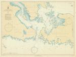
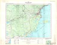
- St. Marys River from Lake Huron to Twin Islands, 1939

 Maritime History of the Great Lakes
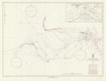
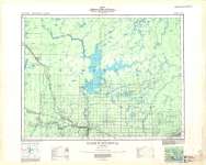
 - St. Marys River from Head of Lake Nicolet to Whitefish Bay, 1939
 Inset of Sault Ste. Marie, MI and ON, and the Soo locks
  Inset of Sault Ste. Marie, MI and ON, and the Soo locksMaritime History of the Great Lakes
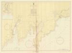
 - Lake Michigan, 1939
 from Green Bay to Manistique; inset of Manistique Harbor; includes Escanaba and Gladstone
  from Green Bay to Manistique; inset of Manistique Harbor; includes Escanaba and GladstoneMaritime History of the Great Lakes
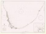
 - Lake Michigan, 1939
 South Lake Michigan, Waukegan to Benton Harbor; Inset of Michigan City; includes Chicago, Evanston, Indiana Harbor, Gary, Calumet Harbor, New Buffalo, St. Joseph, Benton Harbor
  South Lake Michigan, Waukegan to Benton Harbor; Inset of Michigan City; includes Chicago, Evanston, Indiana Harbor, Gary, Calumet Harbor, New Buffalo, St. Joseph, Benton HarborMaritime History of the Great Lakes
 - Map of Onondaga Township
 This is a map of Onondaga Township made in 1939. The original map was provided by Al Robinson during a Scan & Share Day event held at the Onondaga Hall on February 11, 2012.
  This is a map of Onondaga Township made in 1939. The original map was provided by Al Robinson during a Scan & Share Day event held at the Onondaga Hall …County of Brant Public Library
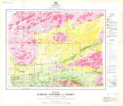
 - Gorham Township and Vicinity : District of Thunder Bay, Ontario
 Map housed at the Brodie Resource Library
  Map housed at the Brodie Resource LibraryThunder Bay Public Library
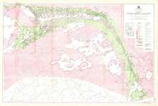
 - North Caribou Lake Area : District of Kenora (Patricia Portion), Ontario
 Map housed at the Brodie Resource Library
  Map housed at the Brodie Resource LibraryThunder Bay Public Library
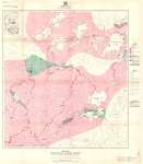
 - Windigo Lake Area : District of Kenora (Patricia Portion), Ontario
 Map housed at the Brodie Resource Library
  Map housed at the Brodie Resource LibraryThunder Bay Public Library
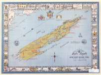
 - Isle Royale (The Majestic Emerald Island of Lake Superior)
 Map housed at the Brodie Resource Library
  Map housed at the Brodie Resource LibraryThunder Bay Public Library
 - Fort William - Port Arthur
 Map housed at the Brodie Resource Library
  Map housed at the Brodie Resource LibraryThunder Bay Public Library
 - Kaministikwia
 Map housed at the Brodie Resource Library
  Map housed at the Brodie Resource LibraryThunder Bay Public Library
Page 1 of 1

