Results
We found 16 matching items.


Page 1 of 1
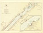
- St. Lawrence River, 1935
 Bradford Point to St. Regis; includes Massena, Cornwall and the Cornwall Canal
  Bradford Point to St. Regis; includes Massena, Cornwall and the Cornwall CanalMaritime History of the Great Lakes
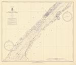
 - St. Lawrence River, 1935
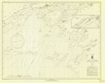
 Maitland to Galops; inset of Ogsendburg and Prescott
  Maitland to Galops; inset of Ogsendburg and PrescottMaritime History of the Great Lakes
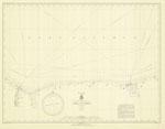
 - St. Lawrence River, 1935
 Chippewa Point to Brooks Point; Includes Brockville and Morristown
  Chippewa Point to Brooks Point; Includes Brockville and MorristownMaritime History of the Great Lakes
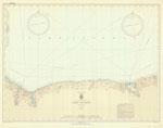
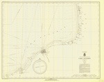
 - Lake Ontario, 1935
 Charlotte to Sodus Bay
  Charlotte to Sodus BayMaritime History of the Great Lakes
 - Lake Ontario, 1935
 Charlotte to Sodus Bay
  Charlotte to Sodus BayMaritime History of the Great Lakes
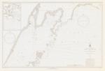
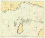
 - West End of Lake Superior: Little Girl Point, MI to Beaver Bay, MN, 1935
 including the Apostle Islands; inset of Port Wing, WI and Two Harbors, MN
  including the Apostle Islands; inset of Port Wing, WI and Two Harbors, MNMaritime History of the Great Lakes
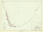
 - Lake Ontario Coast Chart No. 2. 1935
 Survey of the south eastern shores of Lake Ontario from Port Bay, to Little Sodus Bay, Fair Haven, Oswego, Texas, Port Ontario to North Big Sandy Pond.
  Survey of the south eastern shores of Lake Ontario from Port Bay, to Little Sodus Bay, Fair Haven, Oswego, Texas, Port Ontario to North Big Sandy Pond.Maritime History of the Great Lakes
 - Lake Ontario Coast Chart No. 1.1935
 Survey of the eastern end of Lake Ontario from Stony Point Lighthouse, Sackets Harbor, Cape Vincent, Clayton, Gananoque and Kingtston
  Survey of the eastern end of Lake Ontario from Stony Point Lighthouse, Sackets Harbor, Cape Vincent, Clayton, Gananoque and KingtstonMaritime History of the Great Lakes
 - North End of Lake Michigan including Green Bay, 1935

 Maritime History of the Great Lakes
 - Lake Michigan: Sel Choix Pt. to Porte Des Morts Passage Including North End Of Green Bay, 1935
 Inset of Manistique
  Inset of ManistiqueMaritime History of the Great Lakes
 - Lake Michigan, 1935
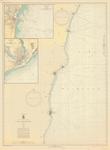
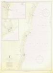
 Stone Haven to Algoma; Insets of Kewaunee and Two Rivers, WI; includes Sheboygan and Manitowoc
  Stone Haven to Algoma; Insets of Kewaunee and Two Rivers, WI; includes Sheboygan and ManitowocMaritime History of the Great Lakes
 - Lake Michigan, 1935
 Stone Haven to Algoma; Insets of Kewaunee and Two Rivers, WI; includes Sheboygan and Manitowoc
  Stone Haven to Algoma; Insets of Kewaunee and Two Rivers, WI; includes Sheboygan and ManitowocMaritime History of the Great Lakes
 - Lake Michigan, 1935
 South Lake Michigan, Waukegan to Benton Harbor; Inset of Michigan City; includes Chicago, Evanston, Indiana Harbor, Gary, Calumet Harbor, New Buffalo, St. Joseph, Benton Harbor
  South Lake Michigan, Waukegan to Benton Harbor; Inset of Michigan City; includes Chicago, Evanston, Indiana Harbor, Gary, Calumet Harbor, New Buffalo, St. Joseph, Benton HarborMaritime History of the Great Lakes
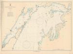
 - Lake Michigan: Point Betsie to Charlevoix, MI including Manitou and Fox Islands, 1935
 includes Traverse City
  includes Traverse CityMaritime History of the Great Lakes
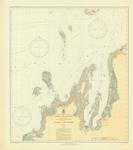
 - Beaver Island Group Including North Shore of Lake Michigan, 1935

 Maritime History of the Great Lakes
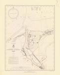
 - Fairport harbor, OH, 1935

 Maritime History of the Great Lakes
Page 1 of 1


