Results
We found 1 matching items.


Page 1 of 1
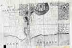
- Plan of Oakville, Township of Trafalgar, Upper Canada, 1835
 A map from 1835 showing the town of Oakville from Brock Street to Allan Street, including the Sixteen Mile Creek. This map features the church, market square, wharf and an intended damn site north of the Colborne Street bridge.
  A map from 1835 showing the town of Oakville from Brock Street to Allan Street, including the Sixteen Mile Creek. This map features the church, market square, wharf and an …Oakville Public Library
Page 1 of 1


