Results
We found 4279 matching items.


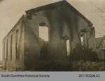
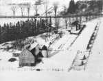
- Old Baptist Church

 This photograph depicts the fire damaged structure of the old Baptist Church in St. George, Ont. The original photo was provided by the South Dumfries Historical Society.
 This photograph depicts the fire damaged structure of the old Baptist Church in St. George, Ont. The original photo was provided by the South Dumfries Historical Society.
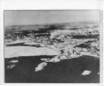
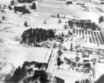
 - Winter Aerial Photo of Former Mill and Box Factory Site, Thessalon, circa 1935

 This unmarked and undated photo was located in miscellaneous municipal files and permission was granted to scan this photo to add to our local collection.
 This unmarked and undated photo was located in miscellaneous municipal files and permission was granted to scan this photo to add to our local collection.Heritage Park Museum
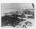
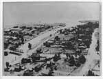
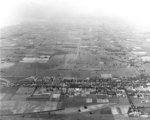
 - Aerial View of Thessalon, Looking West, circa 1935

 This unmarked and undated photo was located in miscellaneous municipal files and permission was granted to scan this photo to add to our local collection.
 This unmarked and undated photo was located in miscellaneous municipal files and permission was granted to scan this photo to add to our local collection.Heritage Park Museum
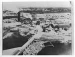
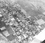
 - Close-up Aerial View of former Lumber Mill, Thessalon, circa 1935

 This unmarked and undated photo was located in miscellaneous municipal files and permission was granted to scan this photo to add to our local collection. Based on other photos of this area taken from a distance and from other photos of the "mill", it would appear that this is the …
 This unmarked and undated photo was located in miscellaneous municipal files and permission was granted to scan this photo to add to our local collection. Based on other photos of …Heritage Park Museum
 - Aerial view of Thessalon River, circa 1935

 This unmarked and undated photo was located in miscellaneous municipal files and permission was granted to scan this photo to add to our local collection.
 This unmarked and undated photo was located in miscellaneous municipal files and permission was granted to scan this photo to add to our local collection.Heritage Park Museum
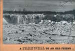
 - A Farewell to an Old Friend (1898-1938)

 On a separate insert: "Tuesday, April 12th, while we were busy addressing these booklets, the Falls View Bridge, which had been lying on the ice since the bridge fell, began to disappear. About 7.10 a.m. the section nearest the American side tipped up and plunged into the river. About 8.30 …
 On a separate insert: "Tuesday, April 12th, while we were busy addressing these booklets, the Falls View Bridge, which had been lying on the ice since the bridge fell, began …Niagara-on-the-Lake Public Library
 - At the Welland Canal


 This view is from Bridge 5 (Glendale Avenue looking north towards Lock 3.

 This view is from Bridge 5 (Glendale Avenue looking north towards Lock 3.Maritime History of the Great Lakes
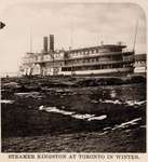
 - Steamer KINGSTON at Toronto in winter
 Black and white, lithographed stereoview of the Richelieu and Ontario Navigation Company steamboat KINGSTON laid up for the winter at Toronto.
  Black and white, lithographed stereoview of the Richelieu and Ontario Navigation Company steamboat KINGSTON laid up for the winter at Toronto.Maritime History of the Great Lakes
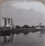
 - Freighter at Huron Cement Co. Docks
 The Huron Transportation Company steamer JOHN W. BOARDMAN at the parent company dock on the Saginaw River, September 1939.
  The Huron Transportation Company steamer JOHN W. BOARDMAN at the parent company dock on the Saginaw River, September 1939.Maritime History of the Great Lakes
 - Walnut and High Streets, c.1930
 Black and white negative of a photograph showing the intersection of Walnut and High Streets. View looking south shows the residence of Jean Stewart at left and Bedding's Blacksmith Shop. At right is the Ontario County House of Refuge.
  Black and white negative of a photograph showing the intersection of Walnut and High Streets. View looking south shows the residence of Jean Stewart at left and Bedding's Blacksmith Shop. …Whitby Public Library
 - Intersection of Walnut and Palace Streets, c.1930
 E.A. Fairman School was built on this site between 1949-1950.
  E.A. Fairman School was built on this site between 1949-1950.Whitby Public Library
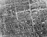
 - Whitby Aerial View, 1931
 Black and white negative of an aerial photograph of the south-west portion of Whitby. The street at the bottom left corner is Henry street and at the top right corner is Green Street and the Joseph King Estate. All Saints' Anglican Church is at the top left corner. The Theodore …
  Black and white negative of an aerial photograph of the south-west portion of Whitby. The street at the bottom left corner is Henry street and at the top right corner …Whitby Public Library
 - Inverlynn House Aerial View, 1930
 Inverlynn house was built at the intersection of Raglan and Giffard Street in 1860 for William Laing (1818-1891). In 1870, the house was purchased by George McGillivray (1813-1894).
  Inverlynn house was built at the intersection of Raglan and Giffard Street in 1860 for William Laing (1818-1891). In 1870, the house was purchased by George McGillivray (1813-1894).Whitby Public Library
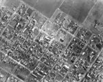
 - Downtown Aerial View, 1931
 Black and white negative of a an aerial photograph of the downtown/central business district of Whitby. The intersection of John and Perry Streets is visible in the upper left corner. At the upper right corner is the intersection of Dunlop and Green Streets. Henry and Colborne Streets are visible in …
  Black and white negative of a an aerial photograph of the downtown/central business district of Whitby. The intersection of John and Perry Streets is visible in the upper left corner. …Whitby Public Library
 - Whitby Looking West Aerial View, 1938
 This photograph was taken to show the proposed route of Highway 401 which would follow the railway line.
  This photograph was taken to show the proposed route of Highway 401 which would follow the railway line.Whitby Public Library
 - South Whitby Aerial View, 1938
 This photograph was taken to show the proposed route of Highway 401 which would follow the railway line.
  This photograph was taken to show the proposed route of Highway 401 which would follow the railway line.Whitby Public Library
 - Coldstream and Jeffery Farms Aerial View, 1931
 Black and white negative of an aerial photograph of the Coldstream and Jeffery Farms located on lot 30 of Concession 1. View looking north toward Highway 2, east of Lynde Creek. The Albert A. Walker residence, located at the corner of Highway 2 and Raglan Street, is visible at the …
  Black and white negative of an aerial photograph of the Coldstream and Jeffery Farms located on lot 30 of Concession 1. View looking north toward Highway 2, east of Lynde …Whitby Public Library
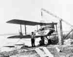
 - Red Wing Orchards Pontoon Plane at Whitby Harbour, 1931
 This plane was owned by G. Norman Irwin of Red Wing Orchards.
  This plane was owned by G. Norman Irwin of Red Wing Orchards.Whitby Public Library
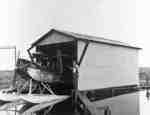
 - Airplane Hanger at Whitby Harbour, 1931
 G. Norman Irwin of Red Wing Orchards built this hanger at the north end of the Whitby harbour in 1931.
  G. Norman Irwin of Red Wing Orchards built this hanger at the north end of the Whitby harbour in 1931.Whitby Public Library
 - Whitby Yacht Club, 1935
 The Whitby Yacht Club was founded in the fall of 1933 and disbanded during the Second World War. The clubhouse was built in 1934.
  The Whitby Yacht Club was founded in the fall of 1933 and disbanded during the Second World War. The clubhouse was built in 1934.Whitby Public Library

